

Midday Nowcast: Hot, Humid, Scattered Storms
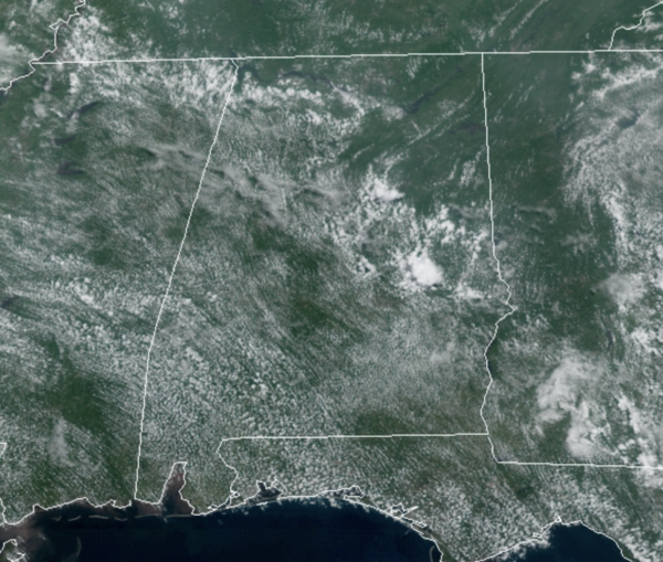
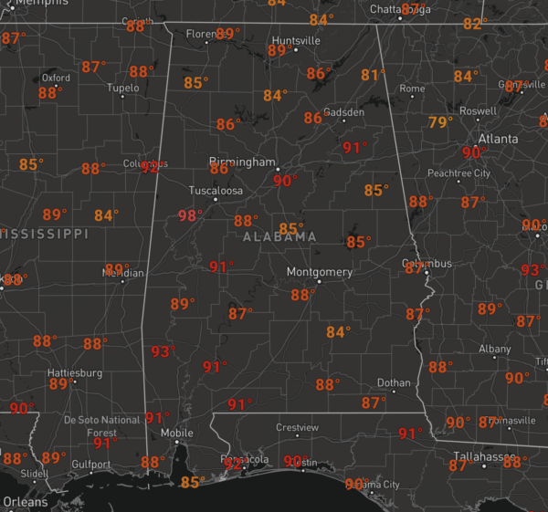
For the most part, we are seeing a mix and sun and clouds and temperatures are surging well into the 80s and lower 90s across Alabama.
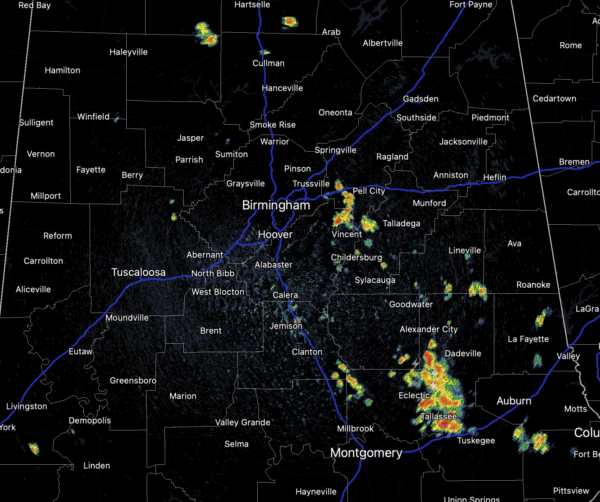
Through the afternoon hours, there will still be plenty of activity on the radar, and this activity will be capable of producing lots of lightning and more tropical downpours, which could lead to some isolated flash flooding. Again, many locations will see rain and storms, while many locations will stay dry. Like we have seen the past few days, shower and storm activity will be tracking from northwest to southeast across the state.
THE ALABAMA WEEKEND: An upper ridge begins to build in over the weekend and the weather will be fairly routine for late July; mainly sunny days with random, mostly afternoon and evening thunderstorms both days. Rain chances Saturday will be in the 30-40% range, and likely dropping closer to 20% by Sunday. Highs over the week will return to lower 90s. Heat index values will be likely be over 100° at times, especially across West and South Alabama.
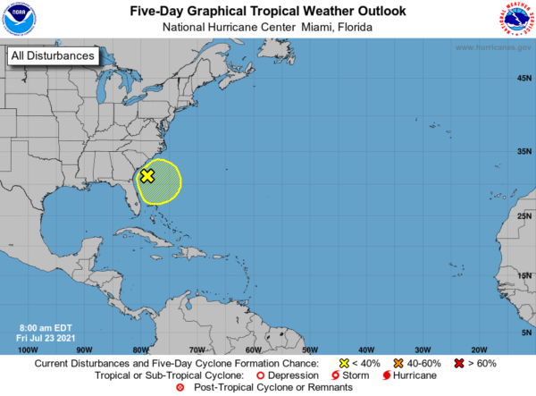
IN THE TROPICS: A trough of low pressure is located just offshore of the southeastern United States coastline. Shower and thunderstorm activity has increased this morning, and environmental conditions appear marginally conducive for some additional development during the next couple of days while the system drifts offshore of the southeastern United States. Formation chance through 5 days…low…30 percent.
BEACH FORECAST CENTER: Get the latest weather and rip current forecasts for the beaches from Fort Morgan to Panama City on our Beach Forecast Center page. There, you can select the forecast of the region that you are interested in visiting.
WORLD TEMPERATURE EXTREMES: Over the last 24 hours, the highest observation outside the U.S. was 124.5F at Jahra, Kuwait. The lowest observation was -101.6F at Ago-4, Antarctica.
CONTIGUOUS TEMPERATURE EXTREMES: Over the last 24 hours, the highest observation was 119F at Stovepipe Wells, CA. The lowest observation was 32F at Sunriver, OR.
WEATHER ON THIS DATE IN 1788: A weather diary kept by George Washington recorded that the center of a hurricane passed directly over his Mount Vernon home. The hurricane crossed eastern North Carolina and Virginia before moving into the Central Appalachians. Norfolk, VA, reported houses destroyed, trees uprooted, and crops leveled to the ground.
Category: Alabama's Weather, ALL POSTS
About the Author (Author Profile)
Macon, Georgia Television Chief Meteorologist, Birmingham native, and long time Contributor on AlabamaWX. Stormchaser. I did not choose Weather, it chose Me. College Football Fanatic. @Ryan_StinnetSubscribe
If you enjoyed this article, subscribe to receive more just like it.


