

Midday Nowcast: Trending Hotter and Drier
The upper ridge in place over the region is intensifying causing our weather to trend hotter and causing sinking air which will limit our rain chances across the northern half of the state the rest of this week, and providing ample sunshine.
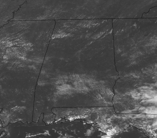
Still, with such a moisture rich air mass in place, there will be a few isolated showers and storms at times, but most locations will remain dry. The main story the rest of the week is the heat as highs will be in the mid and upper 90s, with perhaps some low 100s in those hotter spots across the state. Additionally, the low level moisture will remain in place which means heat index values will remain high, likely in the 103°-110° range across the state, and is why the Heat Advisory has been extended and expanded across much of the state.
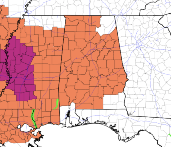
The combination of hot temps and high humidity will lead to dangerous heat levels during the afternoon and evening hours, and additional heat advisories are likely going to be issued the rest of this week. As far as rainfall, the better chance for rain through Saturday will be across southern sections of the state, where stronger storms will produce gusty winds and lots of lightning, plus tropical downpours could lead to isolated areas of flash flooding. For the northern half of the state, thunderstorm activity looks to remain few and far between.
IN THE TROPICS: The Atlantic Basin is quiet and no tropical development is expected through the weekend.
THE ALABAMA WEEKEND: Saturday will continue to hot and mainly dry, but rain chances will begin to increase as scattered afternoon storms are possible as highs surge into the mid-90s. On Sunday, rain chances begin to increase more as an approaching surface boundary begins to drop down from the north. Highs Sunday will be in the lower 90s.
BEACH FORECAST CENTER: Get the latest weather and rip current forecasts for the beaches from Fort Morgan to Panama City on our Beach Forecast Center page. There, you can select the forecast of the region that you are interested in visiting.
WORLD TEMPERATURE EXTREMES: Over the last 24 hours, the highest observation outside the U.S. was 126.3F at Jahra, Kuwait. The lowest observation was -103.9F at Concordia, Antarctica.
CONTIGUOUS TEMPERATURE EXTREMES: Over the last 24 hours, the highest observation was 112F at Death Valley, CA. The lowest observation was 35F at Albany, WY.
WEATHER ON THIS DATE IN 1952: A severe storm with hail up to an inch and a half in diameter broke windows, ruined roofs, and stripped trees of leaves near Benson, AZ. The temperature dropped to 37 degrees, as hail was three to four inches deep, with drifts 46 inches high.
Category: Alabama's Weather, ALL POSTS
About the Author (Author Profile)
Macon, Georgia Television Chief Meteorologist, Birmingham native, and long time Contributor on AlabamaWX. Stormchaser. I did not choose Weather, it chose Me. College Football Fanatic. @Ryan_StinnetSubscribe
If you enjoyed this article, subscribe to receive more just like it.


