

Some Localized Flooding May Be Possible Again on Friday & Saturday
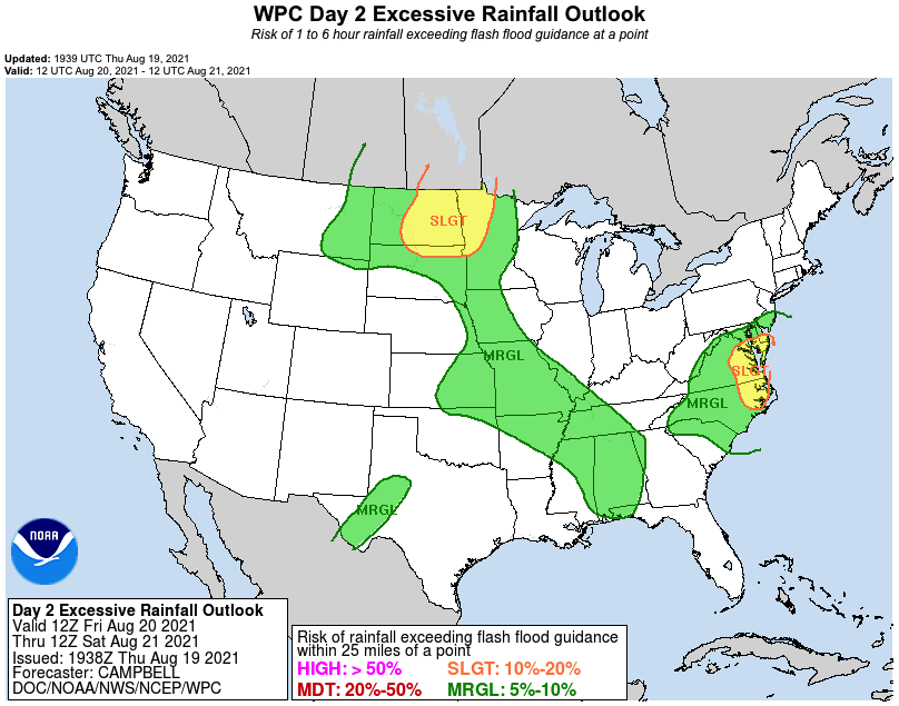
The Weather Prediction Center has placed nearly the entire state of Alabama in a Marginal Risk (level 1/4) of excessive rainfall in their latest Day 2 Outlook (valid from 7 am Friday to 7 am Saturday). There will be plenty of moisture available for any storm that forms during the heating of the day to feed off of, and precipitable water values are projected to be in the 2.00-2.25 inch range across much of the area, with some sporadic values reaching or exceeding 2.50 inches. That simply means that heavier storms could potentially produce those amounts or higher over a certain location.
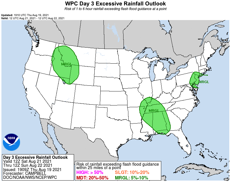
Unfortunately, Saturday will not be that much different, as the WPC has included nearly the entire state of Alabama in a Marginal Risk for excessive rainfall in its latest Day 3 Outlook (valid from 7 am Saturday to 7 am Sunday). A little good news… the precipitable water values are projected to be a little lower in some locations, but they are still projected in the 1.85-2.50 inch range.
While much of the activity will take place during the main heating of the day from the late morning through the evening hours, don’t be surprised if a few showers fire up much earlier or linger through the late night and overnight hours. Let’s just hope and pray that amounts will not be as what we have seen this evening and tonight in Franklin County in and around Phil Campbell.
Category: Alabama's Weather, ALL POSTS
About the Author (Author Profile)
Scott Martin is an operational meteorologist, professional graphic artist, musician, husband, and father. Not only is Scott a member of the National Weather Association, but he is also the Central Alabama Chapter of the NWA president. Scott is also the co-founder of Racecast Weather, which provides forecasts for many racing series across the USA. He also supplies forecasts for the BassMaster Elite Series events including the BassMaster Classic.Subscribe
If you enjoyed this article, subscribe to receive more just like it.


