

Sam Continues to Rapidly Intensify, May Become a Hurricane Well Before Daybreak
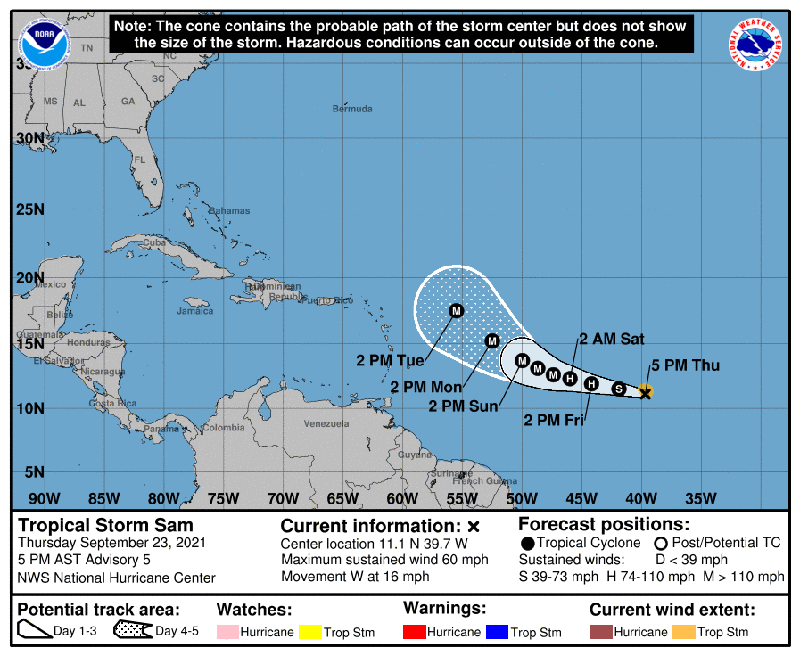
As of the 10 pm update, Tropical Storm Sam continues in the process of rapid intensification as wind speeds have increased by another 10 mph and the pressure has dropped by another 3 mb down to 997 mb. Here is the latest from the National Hurricane Center:
SUMMARY OF 1100 PM AST…0300 UTC…INFORMATION
———————————————–
LOCATION…11.2N 40.9W
ABOUT 1560 MI…2505 KM ESE OF THE NORTHERN LEEWARD ISLANDS
MAXIMUM SUSTAINED WINDS…70 MPH…110 KM/H
PRESENT MOVEMENT…W OR 280 DEGREES AT 15 MPH…24 KM/H
MINIMUM CENTRAL PRESSURE…997 MB…29.44 INCHES
WATCHES AND WARNINGS
——————–
There are no coastal watches or warnings in effect.
DISCUSSION AND OUTLOOK
———————-
At 1100 PM AST (0300 UTC), the center of Tropical Storm Sam was located near latitude 11.2 North, longitude 40.9 West. Sam is moving toward the west near 15 mph (24 km/h), and this motion with a decrease in forward speed is expected through Saturday. A motion toward the west-northwest at an even slower forward speed is expected late Saturday into Sunday.
Sam is rapidly intensifying, and maximum sustained winds have increased to near 70 mph (110 km/h) with higher gusts. Rapid intensification is forecast to continue through early Saturday. Sam is likely to become a hurricane very soon, and then could be a major hurricane by Friday night or early Saturday.
Sam is a small tropical storm. Tropical-storm-force winds extend outward up to 45 miles (75 km) from the center. The estimated minimum central pressure is 997 mb (29.44 inches).
HAZARDS AFFECTING LAND
———————-
None.
All images, forecasts, and documents are courtesy of their respective publishers.
About the Author (Author Profile)
Scott Martin is an operational meteorologist, professional graphic artist, musician, husband, and father. Not only is Scott a member of the National Weather Association, but he is also the Central Alabama Chapter of the NWA president. Scott is also the co-founder of Racecast Weather, which provides forecasts for many racing series across the USA. He also supplies forecasts for the BassMaster Elite Series events including the BassMaster Classic.Subscribe
If you enjoyed this article, subscribe to receive more just like it.


