

A Cirrusy Sunday
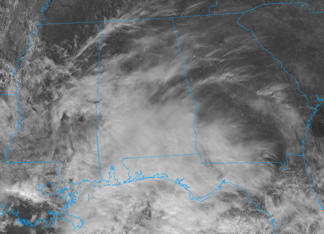
Gorgeous cirrus clouds are painting a beautiful sky across much of Alabama on this late October Sunday. The lower levels are dry, but there is a big slug of moisture over southeastern Lousiana. And with very strong winds aloft out of the southwest across the region, that moisture is being blown into beautiful ice crystal clouds that have been overspreading our state. Those cirrus clouds have given the day a real fall feel with filtered sunshine.
Temperatures started out cool this morning, with some 40s over eastern Alabama, including 44F at Gadsden, 46F at Shoal Creek, and 48F at Eufaula. They will recover nicely by early afternoon, reaching the middle and upper 70s, with an 80-degree reading thrown in for good measure over West Central Alabama. Expect the cirrus invasion to continue, with off and on sunshine.
Tonight will be partly to mostly cloudy with lows in the upper 50s and lower 60s. The day may dawn cloudy on Monday, with a weakening line of storms reaching Northwest Alabama around sunrise. That line will barely survive its travels to the I-59 Corridor after lunch but should hold together as a line of showers and some thunder ahead of a cold front. Strong storms are not expected in Alabama but could be strong to our northeast.
Tuesday will be beautiful, but in our current progressive pattern, the next system will arrive Wednesday with rain pushing into our state by late in the day. Rain and storms will be likely Wednesday night into Thursday.
Category: Alabama's Weather, ALL POSTS
About the Author (Author Profile)
Bill Murray is the President of The Weather Factory. He is the site's official weather historian and a weekend forecaster. He also anchors the site's severe weather coverage. Bill Murray is the proud holder of National Weather Association Digital Seal #0001 @wxhistorianSubscribe
If you enjoyed this article, subscribe to receive more just like it.


