

Midday Nowcast: Just A Few Wispy Clouds in the Sky
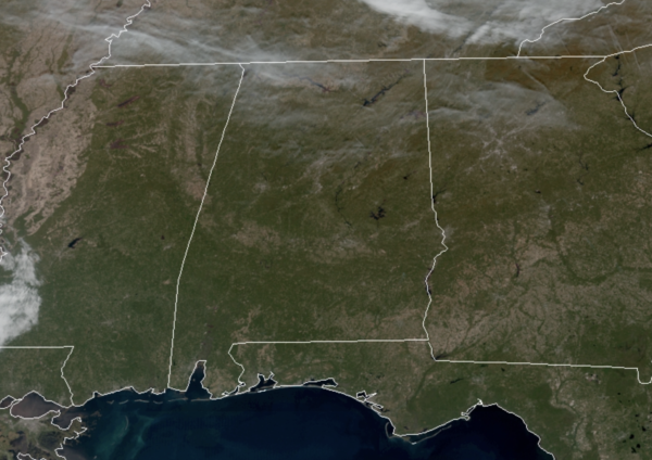
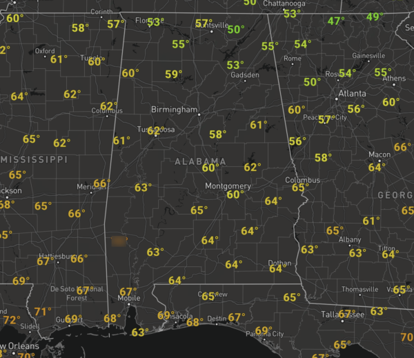
High pressure remains in control of our weather the next several days, which will allow sunny days and a warming trend. Today is featuring a sunny sky with temperatures in the upper 50s and lower 60s as we approach the midday hours, but the end of the day, we should see highs in the mid 60s.
Tomorrow and Wednesday more of the same with temperatures continuing to warm; highs tomorrow will be in the low 70s, followed my mid 70s Wednesday. A few more clouds should move across the sky by midweek, but no rain associated with these clouds.
SOME SHOWERS RETURN: A cold front will begin to move into the area on Thursday and bring clouds and some showers back to the area during the afternoon and evening hours. The better dynamics will be well to the north in Canada, so severe weather is not in the forecast, in fact, there may not be any thunder. Highs will be in the mid to upper 60s and rain amounts will be less than one-quarter inch.
FRIDAY AND THE WEEKEND: Behind the front, high pressure builds back in to our north, which will allow for a much cooler air mass to return to the state to end the week. Friday will be sunny and cooler with highs in the 50s. Our coldest morning should be Saturday with widespread 30s, but we expect nice warm with abundant sunshine highs will return to the 60s. Sunday will remain dry with increasing clouds as some showers could return as early as Sunday evening. Highs Sunday will be in the 60s.
NEXT WEEK: Monday looks to start off with some rain and storms, but the rest of the week of Thanksgiving looks great, as a dry and quiet pattern will persist. The long range models suggest a strong cold front on Black Friday could bring much colder weather for Iron Bowl weekend, but that is just current model output and not the forecast.
BEACH FORECAST CENTER: Get the latest weather and rip current forecasts for the beaches from Fort Morgan to Panama City on our Beach Forecast Center page. There, you can select the forecast of the region that you are interested in visiting.
WORLD TEMPERATURE EXTREMES: Over the last 24 hours, the highest observation outside the U.S. was 114.4F at Potchefstroom, South Africa. The lowest observation was -62.3F at Dome A, Antarctica.
CONTIGUOUS TEMPERATURE EXTREMES: Over the last 24 hours, the highest observation was 97F at Camp Pendleton, CA. The lowest observation was 3F at Hibbing, MN.
WEATHER ON THIS DATE IN 2005: Severe thunderstorms produced over 30 tornadoes in 6 states, resulting in one fatality and at least 35 injuries. Some of the worst damage occurred in Henry county, Tennessee, where numerous homes and businesses were damaged or destroyed.
Category: Alabama's Weather, ALL POSTS
About the Author (Author Profile)
Macon, Georgia Television Chief Meteorologist, Birmingham native, and long time Contributor on AlabamaWX. Stormchaser. I did not choose Weather, it chose Me. College Football Fanatic. @Ryan_StinnetSubscribe
If you enjoyed this article, subscribe to receive more just like it.


