

Sunday Weather Xtreme: Showers Tonight, then Nice through Midweek
Are you looking forward to Thursday? I know that I am. It does appear that we will deal with some rain during the week, starting with tonight. Let’s dig into the details…
A BEAUTIFUL SATURDAY: There was quite a difference in temperatures Saturday morning across Central Alabama. The morning low in Tuscaloosa fell to 31F, while just up the road in Birmingham, it was 42F. There were several lows in the 20s, including the 29F at Demopolis, the 27F at Pell City, and the 26F at Gadsden. For many of these places, it was the first freeze of the season. Frost was a little hard to come by, with dewpoints in the 20s. Temperatures warmed nicely in the afternoon, with just wispy cirrus clouds early. Some mid-level clouds started showing up by late afternoon, which made for a nice sunset. Overnight lows were generally in the 40s, except over Northeast Alabama, which some 30s occurred.
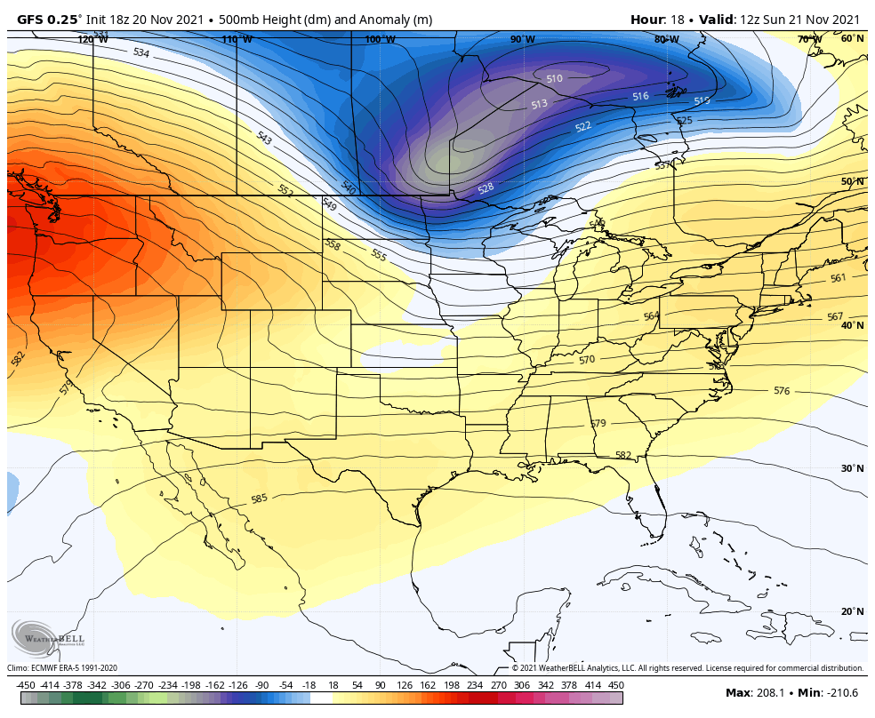
FOR YOUR SUNDAY: Clouds will be increasing today ahead of a cold front. That front is located from near St. Louis to Fayetteville, Arkansas this morning. Showers will develop ahead of the front. The shield of rain will reach the northwest corner of our state by mid to late afternoon, and it will slide southeastward overnight, reaching the I-59 Corridor by late evening. There could be some scattered thunder, but no severe weather is expected. Look for 4-5 hours of rain, which will generally total 0.25-0.50 inches.
HIGH PRESSURE INTO MID-WEEK: It’s a low-pressure forecast thanks to high pressure that will build over the Southeast for the first half of the Holiday week. Expect sunny to partly cloudy conditions Monday, Tuesday, and Wednesday. Highs will be in the 50s. There will be a widespread freeze Monday night, with readings around freezing on Tuesday night.
TURKEY DAY: We will be tracking another trough and frontal system for Thursday. Clouds should be on the increase again about the time you are putting that bird in the oven Thursday morning. The models have been trending later and later with the timing of the rain, and it looks like most of the day will be dry. Expect the rain by the time you are digging out those leftovers for a turkey sandwich.
BLACK FRIDAY: Always makes me think about one of my favorite Steely Dan songs. Of course, that song is about a financial debacle in the 1860s, and the term has a different meaning today, relating to shopping. When folks head to the malls Friday morning, they will encounter leftover showers. The day will start off in the 40s, and afternoon readings will be in the upper 50s to near 60F.
IRON BOWL OUTLOOK: Things are looking good for the big Alabama-Auburn tilt Saturday in Jordan Hare. The weather looks dry with partly cloudy skies. Game Time temperatures will be falling through the 50s.
VOODOO TERRITORY: Our next rain chances appear to come the weekend of the 4th, when rain and storms will be possible. Monday night readings will be in the 30s. Then a run of dry weather through much of Thanksgiving Day.
BEACHCAST: Today looks good along the beautiful beaches of Alabama and Northwest Florida. Rain will be possible Monday, but the day does not look like a washout. Expect readings in the 70s today and tomorrow, cooling off behind the frontal system. Lows will be in the 40s. Tuesday and Wednesday nights, with highs warming back to near 70F on Thanksgiving Day. Rain appears likely Friday., with a few lingering showers Saturday. Highs will be in the 60s, with lows in the 40s. Water temperatures are in the middle 60s.
Click here to see the Beach Forecast Center page.
NATIONALLY: Not much going on nationally, with about the only things being Red Flag Warnings for southern California. Frost advisories are in effect this morning for northern California. A coastal flood advisory is in effect for the Mississippi Coast.
WEATHERBRAINS: TThis week, the panel will entertain British author Tristan Gooley, talking about weather signs. Check out the show at www.WeatherBrains.com. You can also subscribe on iTunes. You can watch the show live at live.bigbrainsmedia.com or on James’ YouTube Channel You will be able to see the show on the James Spann 24×7 weather channel on cable or directly over the air on the dot 2 feed.
ON THIS DATE IN 1989: Low pressure brought thunderstorms and high winds to the northeastern U.S. There were 193 reports of damaging winds with thunderstorms in New York State, Pennsylvania, and New Jersey. Tornadoes touched down near Seaside Park NJ and McAlevys Port PA. Winds with thunderstorms gusted to 92 mph at Poughkeepsie NY and reached 94 mph at Newburgh NY. High winds in the Washington D.C. area, gusting to 73 mph, resulted in one deathFollow my weather history tweets on Twitter. I am @wxhistorian at Twitter.com.
Category: Alabama's Weather, ALL POSTS, Weather Xtreme Videos
About the Author (Author Profile)
Bill Murray is the President of The Weather Factory. He is the site's official weather historian and a weekend forecaster. He also anchors the site's severe weather coverage. Bill Murray is the proud holder of National Weather Association Digital Seal #0001 @wxhistorianSubscribe
If you enjoyed this article, subscribe to receive more just like it.


