

Midday Nowcast: Generally Sunny and Several Degrees Warmer
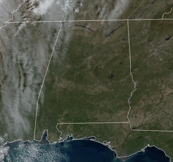
After the cold and frosty morning with widespread 20s and 30s, temperatures are warming up nicely under a sky full of sunshine, highs today will be in the upper 50s to lower 60s across North/Central Alabama.
Tonight will feature passing clouds with lows ranging from the lower 30s in our northeastern communities, with low 40s in our southwestern communities.
THANKSGIVING: Tomorrow starts off, but clouds will increase through the day, and by the afternoon, showers will begin to move into Northwest Alabama ahead of our next cold front. These showers will reach the Interstate 20 corridor in Central Alabama by the evening hours. The showers and front will continue to move south through the state overnight and will be out of the state by sunrise Friday morning. Rainfall totals will be light, with totals less than a quarter-inch, thunder is not expected, and again no severe weather.
FRIDAY AND THE WEEKEND: The front clears the state early Friday morning, and another surge of colder, dry air settles into the state Friday, lasting through the upcoming weekend. Friday will be a sunny and colder with highs in the lower 50s, but it will be quite windy as well, making it feel colder. The winds relax overnight, and that will allow temperatures to fall into the 20s for most locations Saturday morning. Saturday will be sunny with highs in the upper 50s, followed by lower 60s on Sunday.
FRIDAY NIGHT LIGHTS: For the semifinals of those high school playoff games Friday night, the weather will be clear and cold with temperatures falling from the mid-40s at kickoff, into the 30s by the fourth quarter.
BEACH FORECAST CENTER: Get the latest weather and rip current forecasts for the beaches from Fort Morgan to Panama City on our Beach Forecast Center page. There, you can select the forecast of the region that you are interested in visiting.
WORLD TEMPERATURE EXTREMES: Over the last 24 hours, the highest observation outside the U.S. was 108.3F at Yampi Sound, Australia. The lowest observation was -51.0F at Verhojansk, Russia.
CONTIGUOUS TEMPERATURE EXTREMES: Over the last 24 hours, the highest observation was 84F at Rio Grande Village, TX. The lowest observation was -2F at Mount Washington, NH.
WEATHER ON THIS DATE IN 1982: Hurricane Iwa lashed the Hawaiian Islands of Niihau, Kauai, and Oahu with high winds and surf. Winds gusting to 120 mph caused extensive shoreline damage. Damage totalled 150 million dollars on Kauai, and fifty million dollars on Oahu. The peak storm surge on the south shore was six to eight feet. It marked the first time in 25 years that Hawaii had been affected by a hurricane.
Category: Alabama's Weather, ALL POSTS
About the Author (Author Profile)
Macon, Georgia Television Chief Meteorologist, Birmingham native, and long time Contributor on AlabamaWX. Stormchaser. I did not choose Weather, it chose Me. College Football Fanatic. @Ryan_StinnetSubscribe
If you enjoyed this article, subscribe to receive more just like it.


