

Dry Through Saturday With Mild Afternoons
BIG WARM-UP: Many Alabama communities that were below freezing this morning have warmed into the mid 60s this afternoon with sunshine in full supply. The 40 degree climb means the air is very dry, and dry weather will continue across Alabama through the beginning of the weekend.
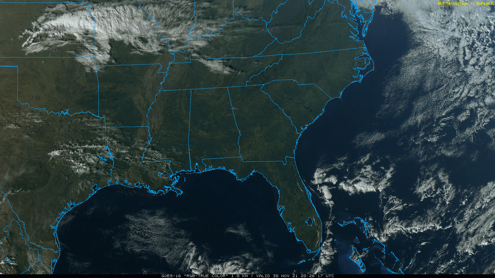
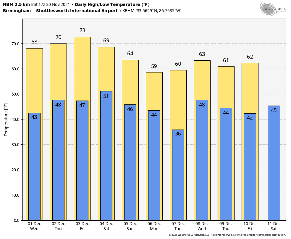
After a clear night tonight with a low between 35 and 45 degrees, look for sunny days for the rest of the week with mild afternoons. The high tomorrow will be in the upper 60s, followed by low to mid 70s Thursday and Friday.
THE ALABAMA WEEKEND: Saturday will be a dry day with a partly sunny sky… temperatures will climb into the low to mid 70s again, almost 15 degrees above average for early December in Alabama. Sunday looks mostly dry, although the we will mention some risk of isolated showers during the day with a mix of sun and clouds. Sunday will be another mild day with a high at or over 70 degrees. Rain becomes likely late Sunday night ahead of an approaching cold front.
NEXT WEEK: Rain will end from the northwest across Alabama during the day Monday, and cooler air returns with a high in the mid to upper 50s. Tuesday looks dry with a high in the low 60s, then the weather over the latter half of the week looks a bit unsettled with periods of rain and possibly a few thunderstorms. See the Weather Xtreme video for maps, graphics, and more details.
HURRICANE SEASON ENDS: The active 2021 Atlantic hurricane season officially concludes today having produced 21 named storms (winds of 39 mph or greater), including seven hurricanes (winds of 74 mph or greater) of which four were major hurricanes (winds of 111 mph or greater). Of those, only one U.S. hurricane landfall involved a major storm: Hurricane Ida, which slammed into Port Fourchon, Louisiana on Aug. 29 with Category 4 maximum sustained winds of 150 mph. Thankfully many of the systems this season were short-lived, week, and far from land.?
ON THIS DATE IN 1925: An extremely rare late November hurricane began to affect the west coast of Florida as it strengthened during the day. The storm made landfall very early on December 1st south of Tampa Bay, weakened to a tropical storm as it crossed central Florida, and exited around St. Augustine. The storm regained Hurricane strength off Jacksonville late on the 1st. Heavy rain continued over northeast Florida on the 2nd. Gale force winds were reported from the Keys to Jacksonville and over 50 people lost their lives, mostly on ships at sea. Damage along the coast south of Jacksonville was heavy and excessive rain and wind seriously damaged citrus and truck crops.
BEACH FORECAST: Click here to see the AlabamaWx Beach Forecast Center page.
WEATHER BRAINS: Don’t forget you can listen to our weekly 90 minute show anytime on your favorite podcast app. This is the show all about weather featuring many familiar voices, including our meteorologists here at ABC 33/40.
CONNECT: You can find me on all of the major social networks…
Look for the next Weather Xtreme video here by 6:00 a.m. tomorrow…
Category: Alabama's Weather, ALL POSTS, Weather Xtreme Videos
About the Author (Author Profile)
James Spann is one of the most recognized and trusted television meteorologists in the industry. He holds the AMS CCM designation and television seals from the AMS and NWA. He is a past winner of the Broadcast Meteorologist of the Year from both professional organizations.Subscribe
If you enjoyed this article, subscribe to receive more just like it.


