

Bright, Sunny, & Nice Out There at Midday

CONDITIONS AT 11 AM
Skies across Central Alabama are sunny as we are making the approach to the midday hour on this second “Hump Day” in February. Temperatures were in the mid 50s to the lower 60s throughout the area. Pell City was the cool spot at 55º, while Troy was leading the way as the warm spot at 62º. Birmingham was sitting at 58º.
WEATHER FOR THE REST OF YOUR WEDNESDAY
Sunny skies will prevail through the remainder of the daylight hours, with afternoon highs topping out in the lower to mid 60s across the area. Those clear skies will continue through the late-night and overnight hours, with lows dipping down into the lower to mid 30s.
HOW ABOUT THE END OF THE WORKWEEK
There will be no change in the forecast for Thursday and Friday, except for temperatures continuing to war on each day. We’ll have mainly sunny skies on both days, with highs reaching the lower 60s to right at 70 degrees on Thursday, then warming into the upper 60s to the lower 70s on Friday.
WEATHER FOR THE CENTRAL ALABAMA WEEKEND
We will have a cold front move through the area on Saturday that will begin a drop in the temperatures for the weekend, but that drop will only last for these couple of days until a slow warming trend begins again. The good news is that we will stay dry with only a few clouds invading the area late in the day on Saturday, but we quickly return to sunny skies on Sunday. Highs on Saturday will be in the mid 50s to the upper 60s, but will only reach the mid 40s to the mid 50s on Sunday.
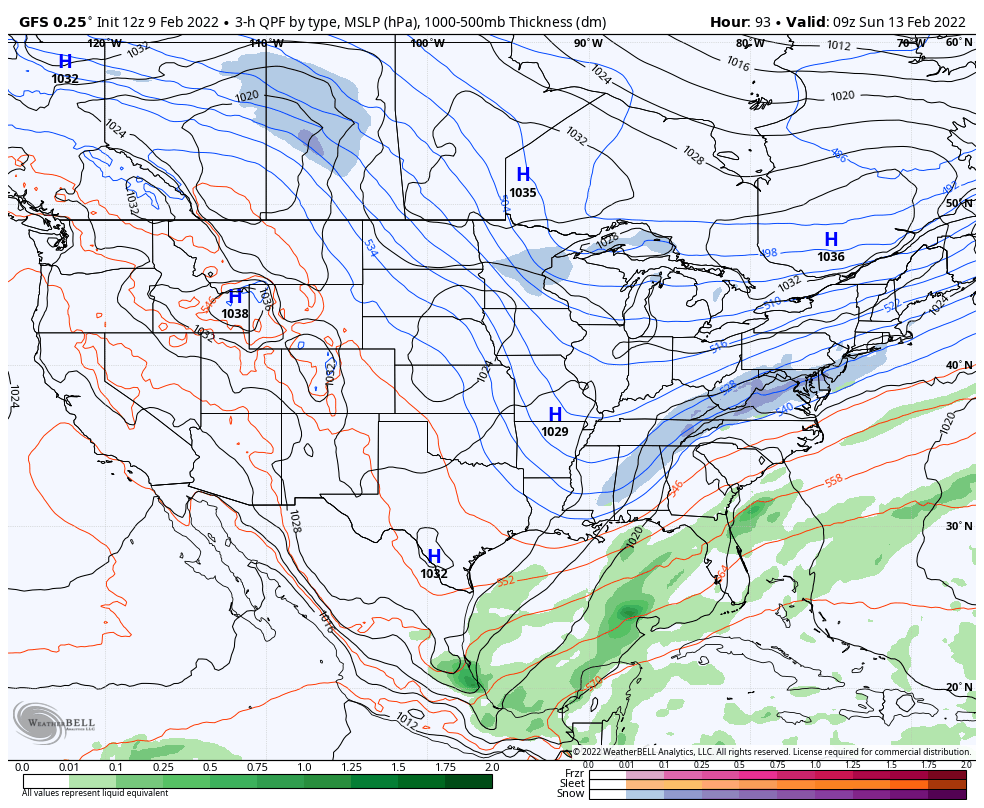
I do want to note that the GFS, in its latest run, has depicted a little wintry precipitation falling across portions of Central Alabama during the late-night hours on Saturday through the pre-dawn hours on Sunday. For now, this is the only run that I have seen with this solution, so for now, I’ll just mention a chance of a few flurries.
NEXT WEEK
Sunny skies will stick around through the end of the forecast period on Tuesday, and like I mentioned earlier, a slow warming trend will be occurring. Monday’s highs will be in the lower 50s to the lower 60s, then reaching the mid 50s to the lower 60s on Tuesday.
It looks like for now that we will stay dry through Wednesday (Feb. 16th) before our next rainmaker moves into the area on Thursday (Feb. 17th). Heavy rain and storms may be possible throughout the day on Thursday, with all of the activity out of Central Alabama before we cross over into Friday (Feb. 18th). As you know, that may change as this is out there in Voodoo land at this point. We’ll keep you posted.
ON THIS DAY IN WEATHER HISTORY
1870 – President Grant signed a measure establishing a Federal Meteorological Service, which was later assigned to the United States Army Signal Service to organize and operate. Observations began on November 1, 1870.
1990 – Thunderstorms developing ahead of a cold front erupted over eastern Texas late in the morning, and produced severe weather as they swept across the southeastern states. Early evening thunderstorms spawned a tornado which injured one person at Nat, TX, and produced tennis balls size hail which caused more than half a million dollars damage around Shreveport, LA.
Category: Alabama's Weather, ALL POSTS, Winter Weather
About the Author (Author Profile)
Scott Martin is an operational meteorologist, professional graphic artist, musician, husband, and father. Not only is Scott a member of the National Weather Association, but he is also the Central Alabama Chapter of the NWA president. Scott is also the co-founder of Racecast Weather, which provides forecasts for many racing series across the USA. He also supplies forecasts for the BassMaster Elite Series events including the BassMaster Classic.Subscribe
If you enjoyed this article, subscribe to receive more just like it.


