

Severe Thunderstorm Warning for Parts of Shelby County…Strong Storms Across Area

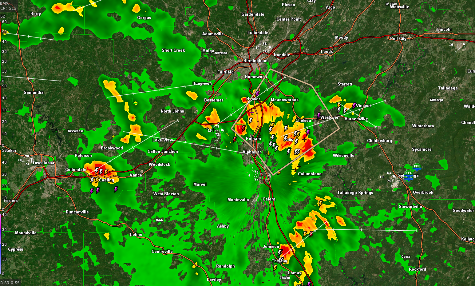
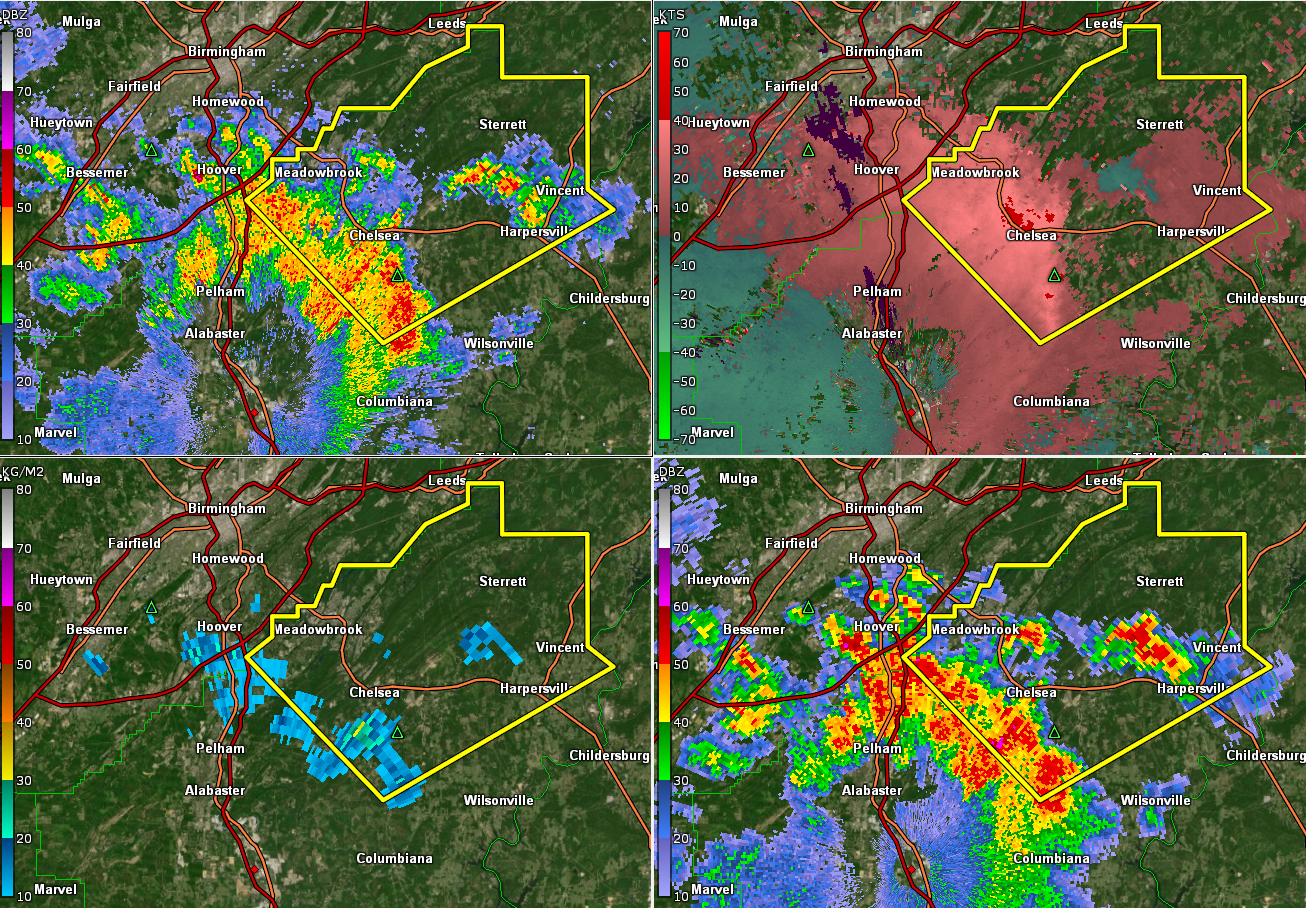
Strong storms extend from Columbiana to Chelsea to Hoover at this hour. With additional cells back near McCalla along I-459.
Others are in Chilton County and in Tuscaloosa County near Coaling.
Be alert for 45 mph winds, frequent lightning, and torrential rains. rainfall rates will approach 1-1.5 inches per hour in spots causing flooding.
Movement is northeast at 15-20 mph.
Here is the warning…
The National Weather Service in Birmingham has issued a
* Severe Thunderstorm Warning for…
Northeastern Shelby County in central Alabama…
* Until 315 PM CDT.
* At 232 PM CDT, severe thunderstorms were located along a line
extending from Meadowbrook to Highland Lakes to Chelsea, moving
northeast at 20 mph.
HAZARD…60 mph wind gusts.
SOURCE…Radar indicated.
IMPACT…Expect damage to roofs, siding, and trees.
* Locations impacted include…
Hoover, Leeds, Chelsea, Indian Springs Village, Vincent,
Harpersville, Westover, Inverness, Highland Lakes, Fowler Lake,
Vandiver, Lake Purdy, Brook Highland, Greystone, Meadowbrook, Mount
Laurel, Oak Mountain State Park, Sterrett, Hoover Veterans Park and
Shoal Creek.
Category: Alabama's Weather, ALL POSTS
About the Author (Author Profile)
Bill Murray is the President of The Weather Factory. He is the site's official weather historian and a weekend forecaster. He also anchors the site's severe weather coverage. Bill Murray is the proud holder of National Weather Association Digital Seal #0001 @wxhistorianSubscribe
If you enjoyed this article, subscribe to receive more just like it.


