

Humid Summer Days With Scattered Showers/Storms
RADAR CHECK: Showers and thunderstorms are active this afternoon in a band from York and Livingston in West Alabama, down through places like Camden and Andalusia in South Alabama. Other random storms are forming over the northeast and eastern counties as well… otherwise we have a mix of sun and clouds today with temperatures mostly in the mid to upper 80s. The average high for Birmingham on June 30 is 90.
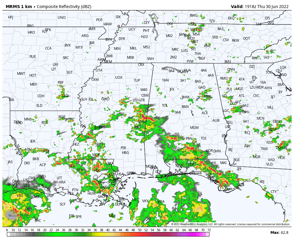
Showers and storms remain possible anywhere statewide tonight through around midnight.
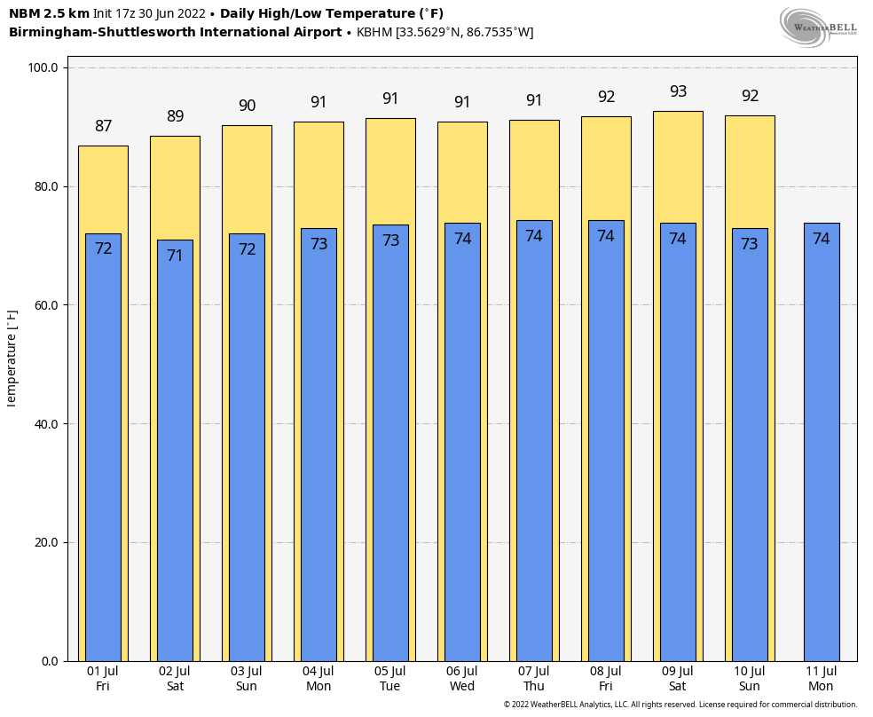
TOMORROW THROUGH THE HOLIDAY WEEKEND: No real change. Partly sunny days with random, scattered showers and thunderstorms… most active from about 2:00 until 10:00 p.m. Understand it won’t rain everywhere, and we don’t have any way of knowing exactly when and where the storms fire up. For all the outdoor events over the weekend you just need to watch radar trends, and “go indoors when thunder roars”. The chance of any one spot getting wet each day (tomorrow through Monday) remains 45-55 percent, and like recent days storms that form will be slow movers with potential for heavy rain and gusty winds. Highs will be in the 86-90 degree range.
REST OF NEXT WEEK: Still no sign of major weather changes. Heat levels tick up a bit with highs in the low 90s, but we will still have scattered showers and storms around daily during the afternoon and evening hours. A classic summer pattern… See the daily Weather Briefing video for maps, graphics, and more details.
TROPICS: The tropical wave in the far western Gulf of Mexico is moving into Texas this afternoon; it will bring a good bit of rain to places like Houston and Galveston through tomorrow. It looks better organized on satellite images this afternoon, but with the system moving inland pure tropical development isn’t expected.
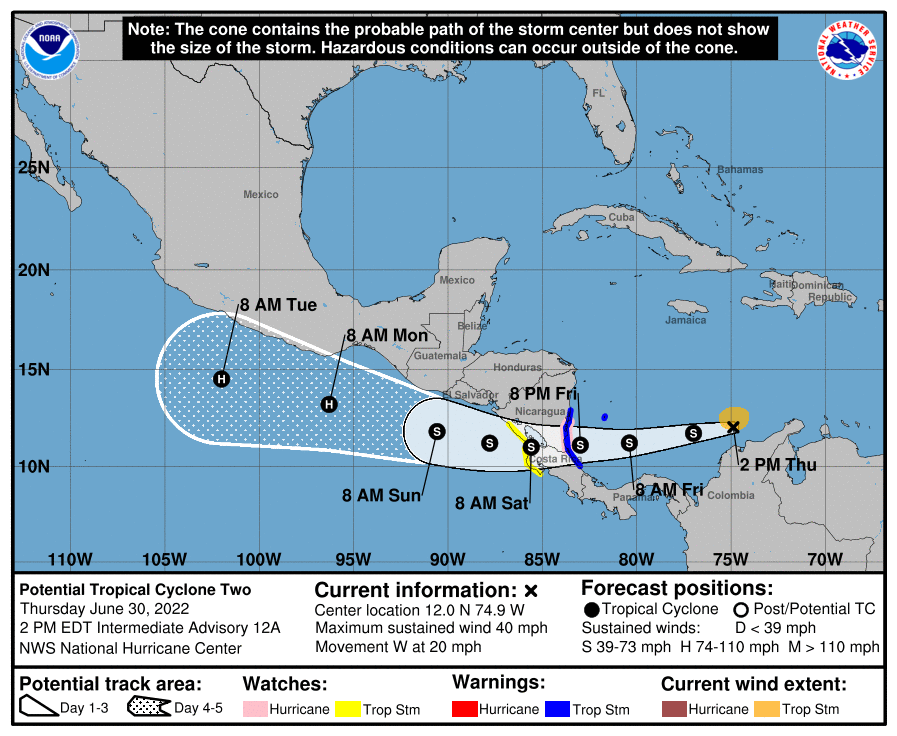
In the far Southwest Caribbean, “Potential Tropical Cyclone 2” is still expected to become Tropical Storm Bonnie soon… it will move into Central America tomorrow evening, far south of the U.S.
And, a tropical wave located several hundred miles east of the Windward Islands is producing disorganized showers and thunderstorms. Any development of this system should be slow to occur while the wave moves west-northwestward during the next day or two. The wave is forecast to move over the Windward Islands on Friday and then over the eastern Caribbean Sea by the weekend, where further development is unlikely due to unfavorable environmental conditions.
There are no tropical systems threatening the Central Gulf Coast (Gulf Shores to Panama City Beach) over the next seven days.
ON THIS DATE IN 1912: An estimated F4 tornado ripped through Regina, Saskatchewan, Canada on this day. The storm became the deadliest tornado in Canada’s history as it killed 28 people along a rare, 18.5-mile track from south to north.
ON THIS DATE IN 1999: Mount Baker, Washington closed out a record snowfall season both for the United States and the verifiable world record as the seasonal total from July 1, 1998, to June 30, 1999, finished with 1,140 inches.
BEACH FORECAST: Click here to see the AlabamaWx Beach Forecast Center page.
Look for the next Weather Xtreme video here by 6:00 a.m. tomorrow…
Category: Alabama's Weather, ALL POSTS, Weather Xtreme Videos
About the Author (Author Profile)
James Spann is one of the most recognized and trusted television meteorologists in the industry. He holds the AMS CCM designation and television seals from the AMS and NWA. He is a past winner of the Broadcast Meteorologist of the Year from both professional organizations.Subscribe
If you enjoyed this article, subscribe to receive more just like it.


