

A Few Strong/Severe Storms Possible Tomorrow Afternoon
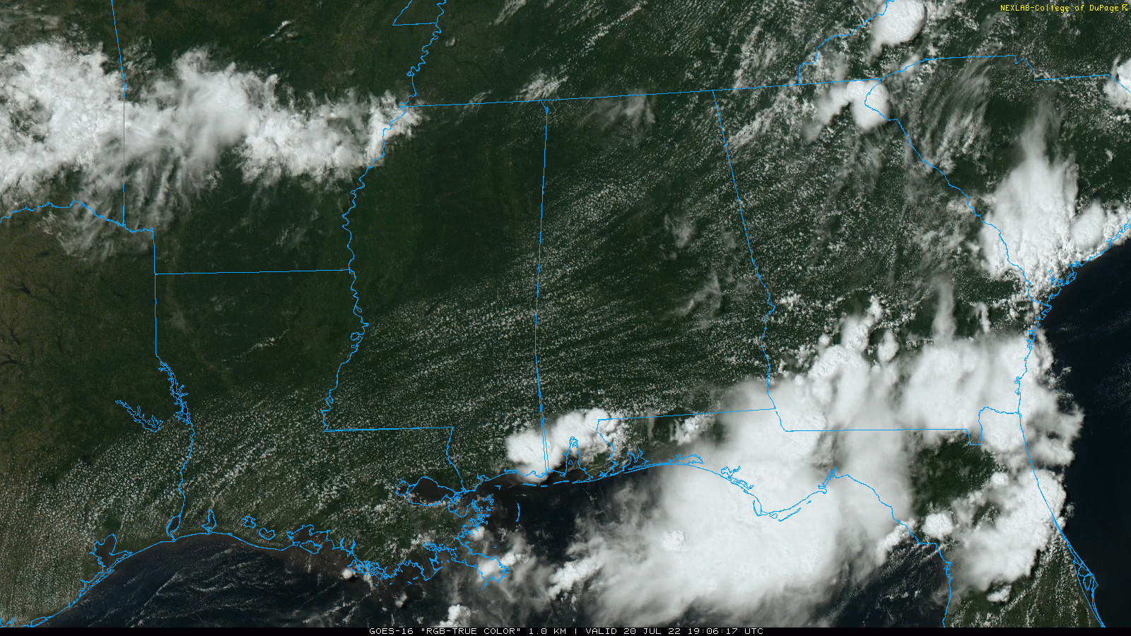
RADAR CHECK: So far today showers and storms have been a no-show over much of Alabama… the only ones on radar at mid-afternoon are over Mobile and Baldwin counties in the southwest corner of the state. The sky is partly to mostly sunny with temperatures in the low to mid 90s. Still some risk of a few isolated storms through the evening hours… and a storm could drop into the Tennessee Valley tonight ahead of a surface front.
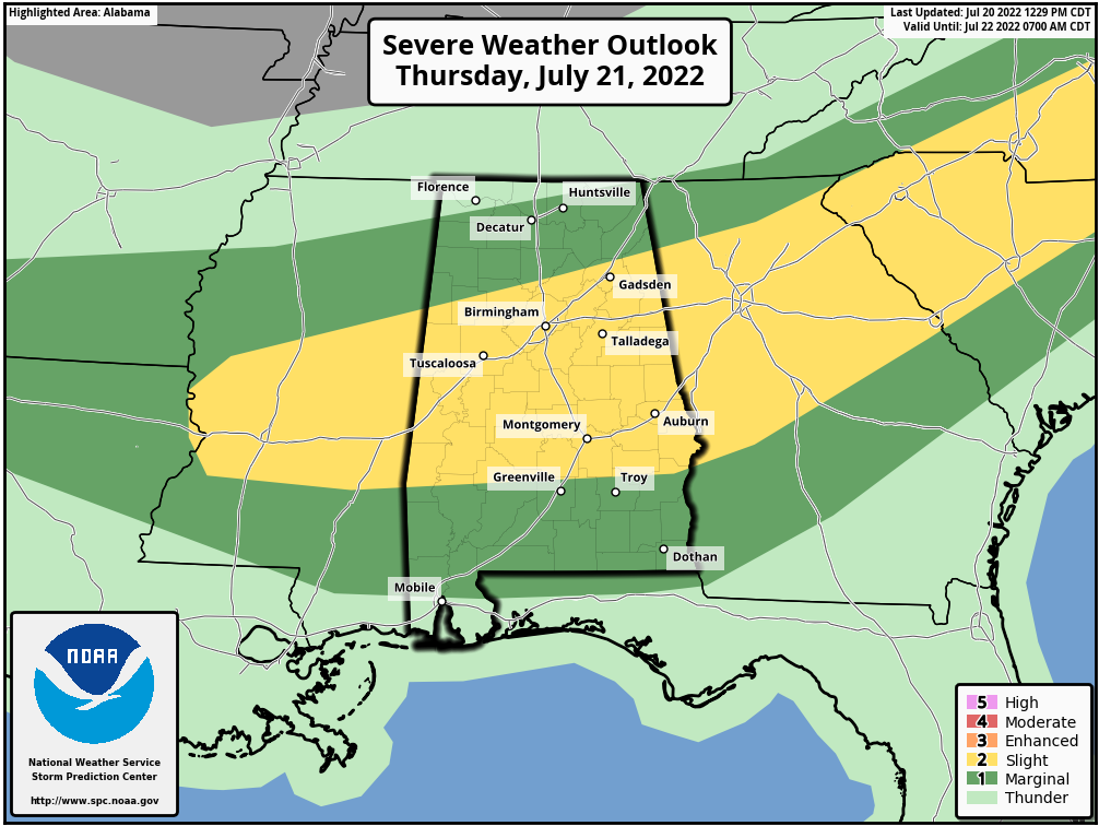
Concerning tomorrow, SPC (NOAA’s Storm Prediction Center) maintains a “slight risk” (level 1/5) of severe thunderstorms over the central counties of the state, with a “marginal risk” (level 1/5) elsewhere. With the weak surface boundary approaching from the north and very high instability values, storms that form tomorrow afternoon could become strong to severe with potential for a few wet microbursts (local areas of strong winds that can bring down trees and power lines). The core risk of severe storms will come from about 1:00 until 8:00 p.m…. understand it won’t rain everywhere, but where storms do form they will pack a punch.
FRIDAY AND THE WEEKEND: The best chance of scattered storms will shift into South Alabama Friday, and over the weekend afternoon storms should be pretty isolated. Look for partly sunny, hot, humid days with highs mostly in the mid 90s.
NEXT WEEK: The upper ridge will continue to be the dominant player, so highs hold in the 90s, lows in the 70s, and afternoon storms should be widely spaced. See the daily Weather Briefing video for maps, graphics, and more details.
TROPICS: Another very quiet day across the Atlantic basin… tropical storm formation is not expected through the next five days. The hurricane season runs through the end of November; the peak comes in August, September, and early October.
ON THIS DATE IN 1977: A flash flood hits Johnstown, Pennsylvania killing 84 people and causing millions of dollars in damages. This flood came 88 years after the infamous Great Flood of 1889 that killed more than 2,000 people in Johnstown.
ON THIS DATE IN 2005: Hurricane Emily made landfall in northern Mexico. When the central pressure fell to 29.43 inches of mercury, and its sustained winds reached 160 mph on the 16th, Emily became the strongest hurricane ever to form before August, breaking a record set by Hurricane Dennis just six days before. It was also the earliest Category 5 hurricane ever recorded in the Atlantic basin, beating Hurricane Allen’s old record by nearly three weeks.
BEACH FORECAST: Click here to see the AlabamaWx Beach Forecast Center page.
Look for the next Weather Briefing video here by 6:00 a.m. tomorrow…
Category: Alabama's Weather, ALL POSTS, Weather Xtreme Videos
About the Author (Author Profile)
James Spann is one of the most recognized and trusted television meteorologists in the industry. He holds the AMS CCM designation and television seals from the AMS and NWA. He is a past winner of the Broadcast Meteorologist of the Year from both professional organizations.Subscribe
If you enjoyed this article, subscribe to receive more just like it.


