

Sunday Afternoon Update: Storms Developing over North Alabama
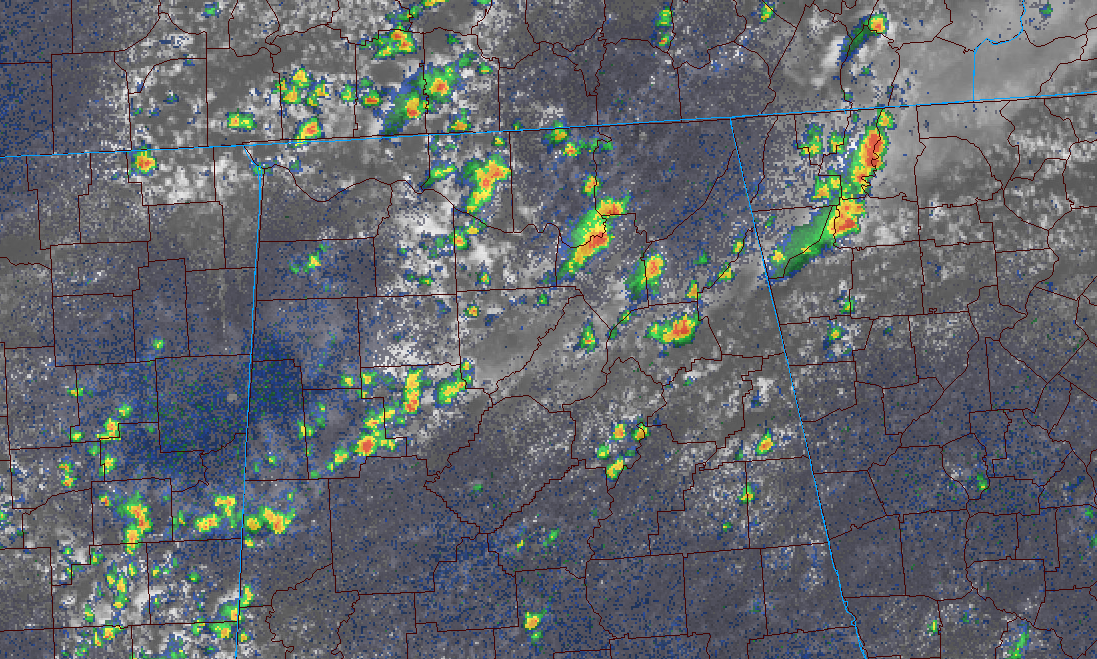
Morning satellite imagery indicated something was up over Northwest Alabama, and it turns out to be true. Showers and thunderstorms have been developing over the past hour in areas mainly northwest of I-59.
It is that old MCV over Mississippi left a little boundary over Northwest Alabama.
The heaviest storms were over northwestern Marshall County, northwest of Albertville, and near Athens in Limestone County. They are moving to the northeast at about 15 mph.
Other storms are over Southwest Alabama. The heaviest was over US-82 between Grove Hill and Frisco City.
Winds of around 40 mph and brief heavy downpours can be expected along with frequent lightning.
Temperatures are in the 80s over North Alabama, but at 90 or above in the I-20 Corridor.
No changes in the forecast. Have a great Sunday.
Category: Alabama's Weather, ALL POSTS
About the Author (Author Profile)
Bill Murray is the President of The Weather Factory. He is the site's official weather historian and a weekend forecaster. He also anchors the site's severe weather coverage. Bill Murray is the proud holder of National Weather Association Digital Seal #0001 @wxhistorianSubscribe
If you enjoyed this article, subscribe to receive more just like it.


