

Some Sun, Some Clouds, Scattered Afternoon Storms… A Typical Summer in Central Alabama
THE REST OF THE WORK WEEK: Get ready for a pretty repetitive forecast for Central Alabama, as each day will be typical summer weather days. Wednesday will partly to mostly sunny skies with a good chance of scattered afternoon to early evening showers and storms. Highs will be in the upper 80s to the lower 90s.
We’ll continue to have a decent chance of scattered showers and storms in the forecast for Thursday, but rainfall will be a little less in coverage across the area. Highs in the upper 80s to the lower 90s.
Friday will be a little hotter with partly to mostly sunny skies. A few isolated late afternoon showers and storms will be possible, but the better chances will be over the northeastern quarter of the area. Highs will be in the upper 80s to the mid 90s.
THE CENTRAL ALABAMA WEEKEND: Rain chances will be slim on Saturday and temperatures will be hot as we can expect a good bit of sunshine throughout much of the day. Only a few isolated showers may pop up with the heating of the day. Highs will be in the lower to mid 90s.
A little higher rain chances will be possible on Sunday, as scattered showers and storms will be possible. Much of the activity will occur during the afternoon. Highs will be in the upper 80s to the lower 90s.
THE START OF NEXT WEEK: No big change in the forecast to start the second week in August… Monday will have some sun and some clouds with a decent chance of scattered, mainly afternoon showers and storms. Highs in the upper 80s to the lower 90s.
And the same story at the end of the forecast period on Tuesday… Partly sunny with a decent chance of scattered, mainly afternoon showers and storms. Highs in the upper 80s to the lower 90s.
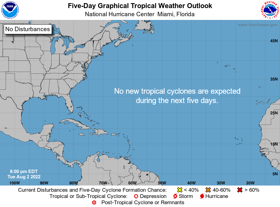
THE TROPICS: All remains calm across the Gulf of Mexico, the Caribbean Sea, and the tropical Atlantic Ocean, and no new tropical systems are expected to form over the next five days. While it has been rather quiet so far, we are getting closer to the peak of the season, which is August 20th to October 10th).
ON THIS DAY IN WEATHER HISTORY-1970: Hurricane Celia struck the coast of Texas, producing wind gusts to 161 mph at Corpus Christi, and estimated wind gusts of 180 mph at Arkansas Pass. The hurricane was the most destructive of record along the Texas coast, causing 454 million dollars damage, and also claimed eleven lives.
Category: Alabama's Weather, ALL POSTS, Tropical, Weather Xtreme Videos
About the Author (Author Profile)
Scott Martin is an operational meteorologist, professional graphic artist, musician, husband, and father. Not only is Scott a member of the National Weather Association, but he is also the Central Alabama Chapter of the NWA president. Scott is also the co-founder of Racecast Weather, which provides forecasts for many racing series across the USA. He also supplies forecasts for the BassMaster Elite Series events including the BassMaster Classic.Subscribe
If you enjoyed this article, subscribe to receive more just like it.


