

Midday Nowcast: Hot End to the Work Week
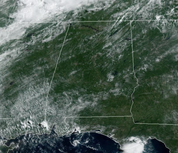
It’s a mainly sunny and hot end to the week with temperatures surging into the low and mid 90s across Alabama this afternoon. Rain chances are low today, roughly less than 20%, meaning most of us will stay dry and hot today…stay cool if you can. Tonight will be warm and muggy with lows in the mid 70s.
WEEKEND WEATHER: Rain chances increase a bit tomorrow, between 30-40%, with some scattered showers and storms expected during the afternoon and evening hours. Those will be the only heat relief as the sky will be generally sunny and highs again in the low to mid 90s. Rain chances increase again on Sunday, closer to 50% as more showers and storms are expected for much of Central and North Alabama. Highs Sunday will be in the low 90s.
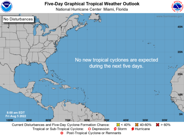
THE TROPICS: The Atlantic Basin remains amazingly quiet. No tropical cyclone development is expected this weekend and into next week. Activity should begin to increase in the coming weeks as we enter the peak of the season, and roughly 75% of tropical cyclone activity in the Atlantic occurs between August 15th and October 15th. Next few names up are Danielle, Earl, Fiona, and Gaston.
NEXT WEEK: Above average rain chances will remain the forecast for much of the week with rain chances in the 40-60% range most days. It will remain very humid, allowing for those scattered to perhaps numerous showers and storms each day. Highs next week will be in the upper 80s to lower 90s, depending on how much sun your location receives.
BEACH FORECAST CENTER: Get the latest weather and rip current forecasts for the beaches from Fort Morgan to Panama City on our Beach Forecast Center page. There, you can select the forecast of the region that you are interested in visiting.
WORLD TEMPERATURE EXTREMES: Over the last 24 hours, the highest observation outside the U.S. was 126.7F at Basrah-Hussen, Iraq. The lowest observation was -94.4F at Vostok, Antarctica.
CONTIGUOUS TEMPERATURE EXTREMES: Over the last 24 hours, the highest observation was 111F at Death Valley, CA. The lowest observation was 29F at Choteau, MT.
Category: Alabama's Weather, ALL POSTS
About the Author (Author Profile)
Macon, Georgia Television Chief Meteorologist, Birmingham native, and long time Contributor on AlabamaWX. Stormchaser. I did not choose Weather, it chose Me. College Football Fanatic. @Ryan_StinnetSubscribe
If you enjoyed this article, subscribe to receive more just like it.


