

Flood Watch Expanded Across the Southern Parts of the Area… Continues Until 7 pm Tonight
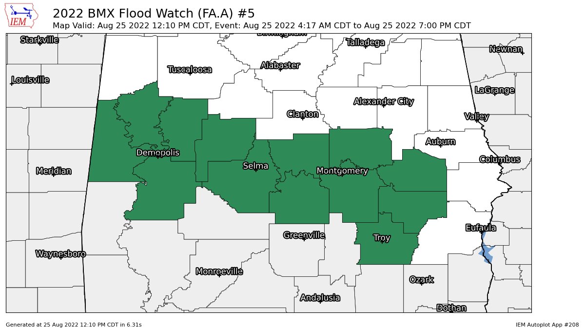
NWS Birmingham has expanded the Flood Watch in area to now include Autauga, Bullock, Elmore, Lowndes, Macon, Montgomery, and Pike counties in Central Alabama to go along with Dallas, Greene, Hale, Marengo, Perry, and Sumter counties until 7 pm tonight.
…FLOOD WATCH IN EFFECT UNTIL 7 PM CDT THIS EVENING…
* WHAT…Flash flooding caused by excessive rainfall is possible.
* WHERE…A portion of central Alabama, including the following
counties, Autauga, Bullock, Elmore, Lowndes, Macon, Montgomery and
Pike.
* WHEN…Until 7 PM CDT this evening.
* IMPACTS…Excessive runoff may result in flooding of rivers,
creeks, streams, and other low-lying and flood-prone locations.
* ADDITIONAL DETAILS…
– Rainfall across already saturated ground may result in areas
of flash flooding. Pockets of an additional 1 to 2 inches is
possible with locally higher totals.
– http://www.weather.gov/safety/flood
PRECAUTIONARY/PREPAREDNESS ACTIONS…
You should monitor later forecasts and be prepared to take action
should Flash Flood Warnings be issued.
Category: Alabama's Weather, ALL POSTS
About the Author (Author Profile)
Scott Martin is an operational meteorologist, professional graphic artist, musician, husband, and father. Not only is Scott a member of the National Weather Association, but he is also the Central Alabama Chapter of the NWA president. Scott is also the co-founder of Racecast Weather, which provides forecasts for many racing series across the USA. He also supplies forecasts for the BassMaster Elite Series events including the BassMaster Classic.Subscribe
If you enjoyed this article, subscribe to receive more just like it.


