

Long Dry Spell Ahead; Warm Days, Pleasant Nights
RAIN-FREE WEATHER: A large mass of dry air covers Alabama and the Deep South this afternoon… with sunshine in full supply temperatures are mostly in the low 80s. Tonight will be clear and cool again with lows in the 55-60 degree range for most communities.
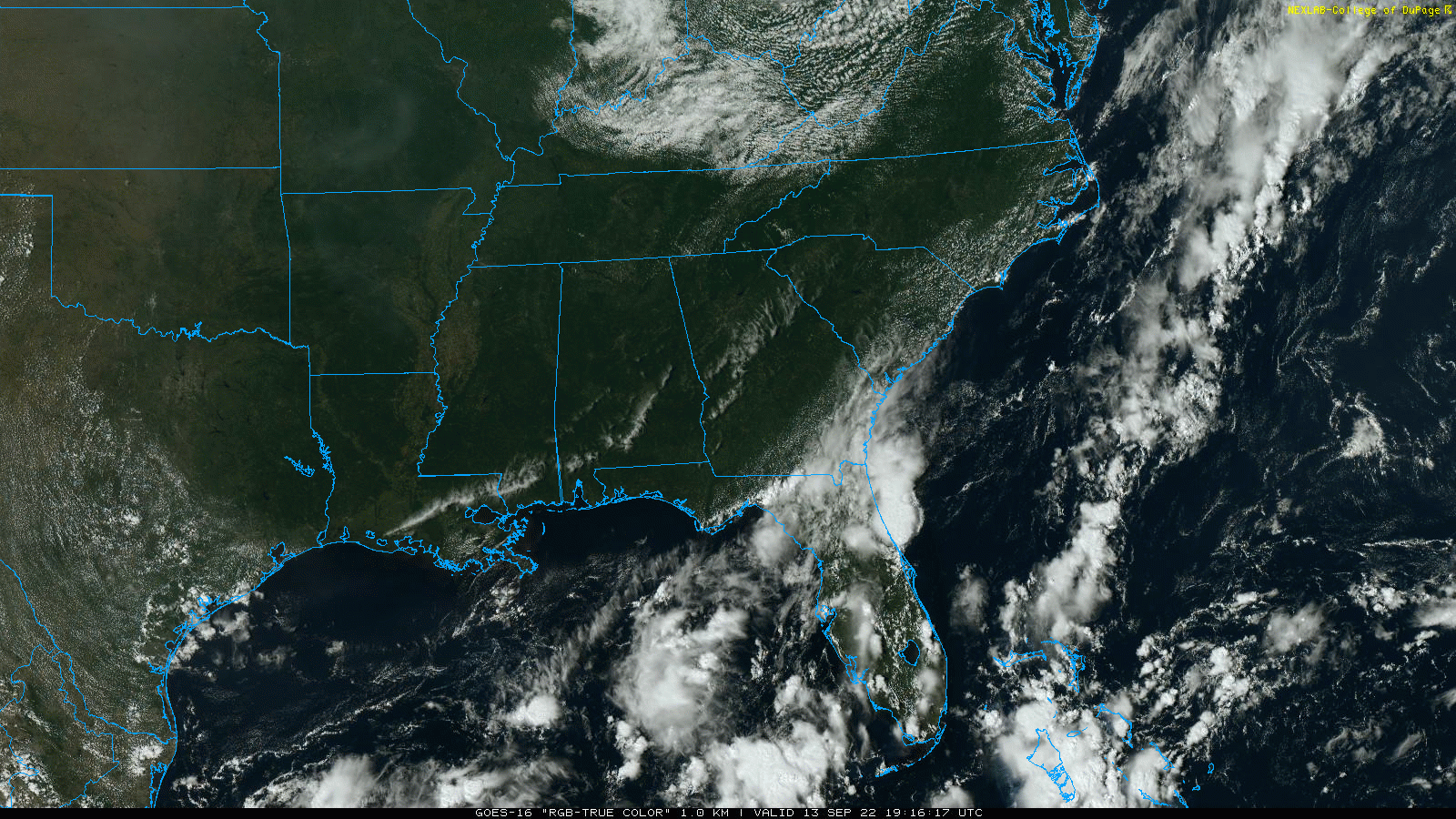
REST OF THE WEEK AND THE WEEKEND: Dry weather continues with sunny warm days and fair pleasant nights. Highs will be in the 80s, lows in the 60s. There could be an isolated shower near the Gulf Coast Friday and Saturday, but even there most places will stay dry.
NEXT WEEK: An upper ridge begins to build, which should keep most of Alabama dry through the week, but with slightly higher heat levels. Afternoon highs will be close to 90 on most days, with lows in the 60s. No sign of any high impact or major rain event around here for the next 10 days… See the daily Weather Briefing video for maps, graphics, and more details.
THIS MORNING: A few spots dipped into the upper 40s over the northern half of Alabama for the first time since the spring. Lows included…
Tuckers Chapel (northeast of Gadsden, near Little River Canyon) 47
Russellville 48
Valley Head 48
Oneonta 48
Margaret 49
Carbon Hill 49
We note Mount LeConte, Tennessee dropped to 35 degrees this morning.
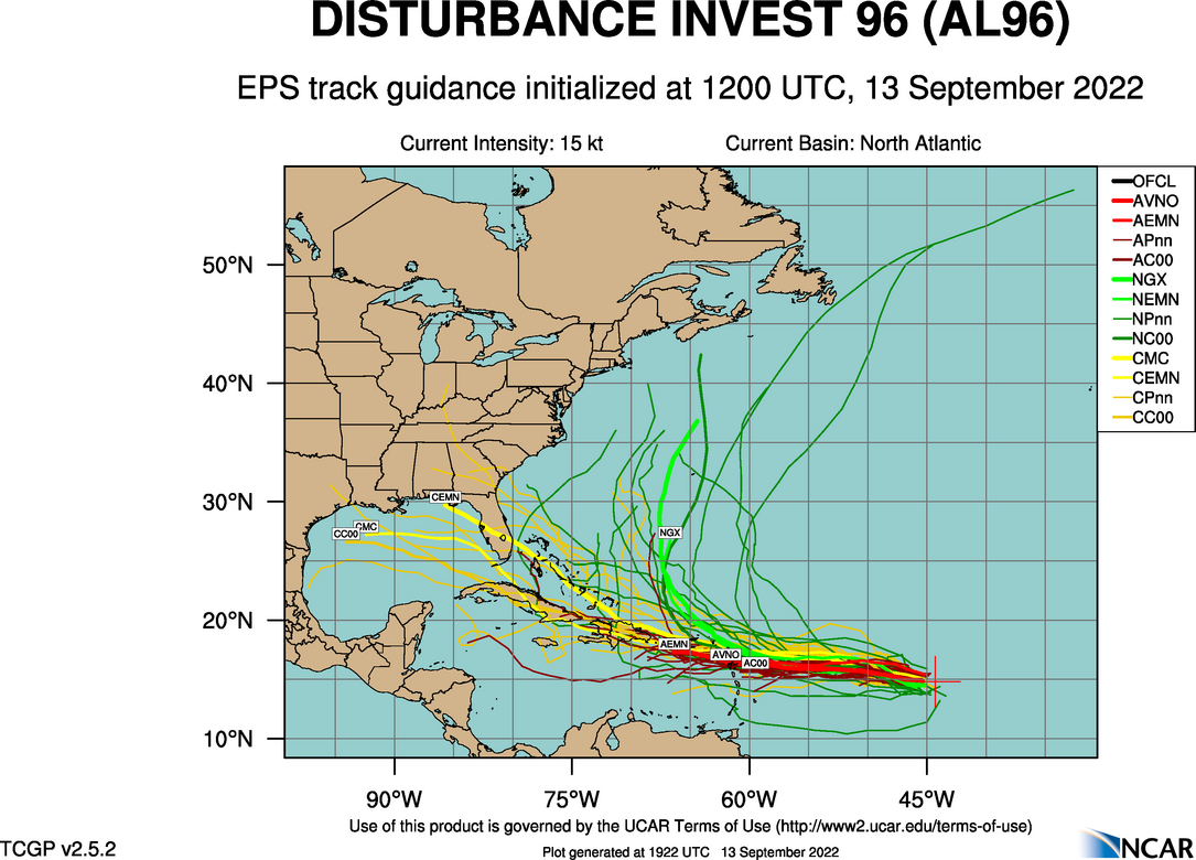
TROPICS: NHC is monitoring two tropical waves; the lead wave in the Central Atlantic (Invest 96L) now has a 40 percent chance of becoming a tropical depression or storm over the next five days. Model output on future movement is not clear; many turn it north (if it develops at all) into the open Atlantic, but a few ensemble members try and bring it into the Gulf of Mexico. Simply to early to know if this will have any impact on the U.S… just something to watch for now. It is currently about 1000 miles east of the Lesser Antilles.
ON THIS DATE IN 1988: Hurricane Gilbert smashed into the Cayman Islands, and as it headed for the Yucatan Peninsula of Mexico it strengthened into a monster hurricane, packing winds of 175 mph. The barometric pressure at the center of Gilbert reached 888 mb, a record for any hurricane in the Caribbean, Gulf of Mexico, or the Atlantic Ocean until Hurricane Wilma in 2005. Gilbert covered much of the Gulf of Mexico, producing rain as far away as the Florida Keys.
ON THIS DATE IN 2008: Hurricane Ike made landfall as a Category 2 storm near Galveston. Due to its immense size, Ike caused devastation from the Louisiana coastline all the way to the Kenedy County region near Corpus Christi.
BEACH FORECAST: Click here to see the AlabamaWx Beach Forecast Center page.
Look for the next Weather Briefing video here by 6:00 a.m. tomorrow…
Category: Alabama's Weather, ALL POSTS, Weather Xtreme Videos
About the Author (Author Profile)
James Spann is one of the most recognized and trusted television meteorologists in the industry. He holds the AMS CCM designation and television seals from the AMS and NWA. He is a past winner of the Broadcast Meteorologist of the Year from both professional organizations.Subscribe
If you enjoyed this article, subscribe to receive more just like it.


