

Tropical Depression Number Nine Becomes Tropical Storm Ian
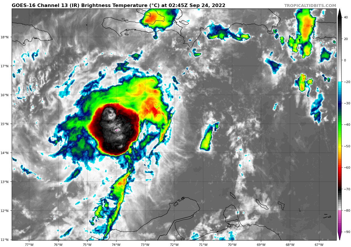
Based on satellite imagery tonight, the NHC has upgraded the depression in the Central Caribbean to tropical storm status and named it Ian.
Top winds are now 40 mph.
The system still is undergoing a good bit of wind shear, but that will be relaxing tomorrow and intensification will begin. In fact, rapid intensification should commence at some point tomorrow or Sunday. The Hurricane Center tonight noted that the SHIPS intensity guidance calls for a 2 out of 3 chance that the storm could strengthen by 75 mph during this rapid intensification phase.
In any case, the hurricane will be a major hurricane by the time it approaches Florida. In fact, the Hurricane Center’s forecast of 115 mph may be low if that happens.
Ian will turn northwestward over the northwestern Caribbean, cross Cuba on Sunday and be in the southeastern Gulf by Monday.
Tropical storm conditions will begin to overspread Florida on Tuesday.
There is a good deal of uncertainty in the eventual track as the GFS is now further west, carrying the storm into the northeastern, and affecting eastern sections of the Panhandle, but not before Thursday. The Euro turns Ian northeast faster, crossing southern Florida on Wednesday.
If the GFS is right, the system will run into a tremendous amount of wind shear over the northern Gulf as a frontal system begins to push offshore of the Gulf Coast on Monday.
The official track carries the center to near Tampa Wednesday as a 115 mph major hurricane.
Category: Alabama's Weather, ALL POSTS, Tropical
About the Author (Author Profile)
Bill Murray is the President of The Weather Factory. He is the site's official weather historian and a weekend forecaster. He also anchors the site's severe weather coverage. Bill Murray is the proud holder of National Weather Association Digital Seal #0001 @wxhistorianSubscribe
If you enjoyed this article, subscribe to receive more just like it.


