

Travel Becoming More Treacherous Over the Northern Parts of the Area
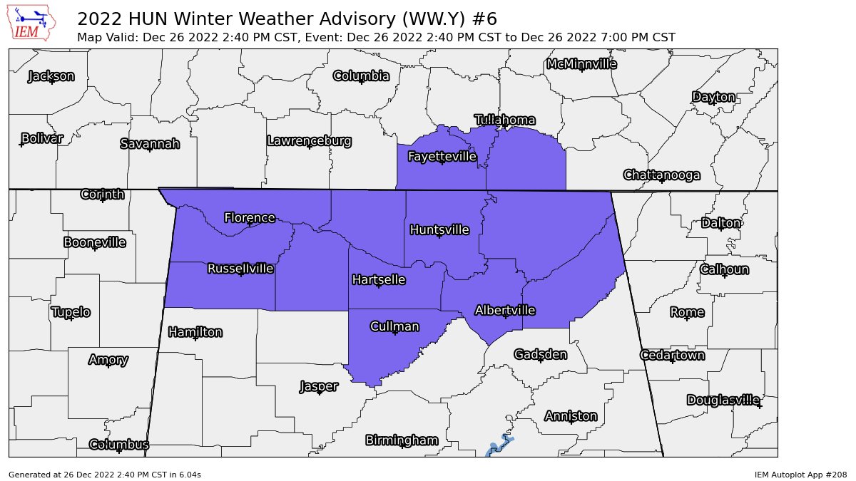
NWS Huntsville will allow the Winter Weather Advisory to expire at 7 pm for all of their counties in the Tennessee Valley, but will issue a new one until 9 pm for the eastern portions of their area as there is some snow redevelopment as far west as the western parts of Cullman and Morgan counties.
Here are some raw NWS Chat reports coming in on icy/snowy road conditions and accidents…
CENTRAL ALABAMA
Centre [Cherokee Co, AL] EMERGENCY MNGR reports SNOW of 0.50 INCH at 26 Dec, 6:35 PM CST — EMERGENCY MANAGER REPORTS 0.5 INCHES OF SNOW IN CENTRE.
Centre [Cherokee Co, AL] EMERGENCY MNGR reports SNOW of E0.0 INCH at 26 Dec, 6:14 PM CST — ARMORY RD AND BYPASS COVERED WITH SNOW IN DOWNTOWN CENTRE. EMERGENCY MANAGER REPORTS OTHER ROADS IN THE CITY SNOW COVERED AND HAZARDOUS.
TENNESSEE VALLEY
2 NNE Skyline [Jackson Co, AL] EMERGENCY MNGR reports SNOW of E0.0 INCH at 4:39 PM CST — A DUSTING OF SNOWFALL AND ICY CONDITIONS REPORTED ON HIGHWAY 79 IN SKYLINE WITH MULTIPLE WRECKS BEING REPORTED DUE TO SLICK CONDITIONS.
4 SE Huntsville [Madison Co, AL] PUBLIC reports SNOW of E0.0 INCH at 3:30 PM CST — THE PUBLIC REPORTED JUST OVER A DUSTING OF SNOWFALL ACCUMULATION AND VERY ICY CONDITIONS ON THE OVERPASSES AT THE INTERSECTION OF MARTIN ROAD AND HIGHWAY 231.
Here are a few more Tweets on tonight’s wintry mischief…
Currently sitting in traffic on the one road out of Huntsville at the moment because all other roads have shut down. Crossing the hour mark on a drive that usually takes 15 minutes @spann pic.twitter.com/tHa0KRM0rb
— Colton Robinson (@IAmCajer) December 27, 2022
Hobbs Island Road south of Huntsville… conditions continue to deteriorate. Video from James Flippo pic.twitter.com/XIRFtUekkO
— James Spann (@spann) December 27, 2022
Hobbs Island Road Huntsville… from @sixty5av pic.twitter.com/ONFvvvtUOr
— James Spann (@spann) December 27, 2022
Got ourselves a little dusting out here in the Riverton Flint River area @AnelloWx @simpsonWVTM13 @NWSHuntsville @spann pic.twitter.com/wdAcxQXmrz
— ?Papa Crawdad? (@PapaCrawdad) December 26, 2022
Lots of vehicles off the road in trinity @spann pic.twitter.com/YiZX52Jvld
— G (@GSMoore16) December 26, 2022
Category: Alabama's Weather, ALL POSTS, Winter Weather
About the Author (Author Profile)
Scott Martin is an operational meteorologist, professional graphic artist, musician, husband, and father. Not only is Scott a member of the National Weather Association, but he is also the Central Alabama Chapter of the NWA president. Scott is also the co-founder of Racecast Weather, which provides forecasts for many racing series across the USA. He also supplies forecasts for the BassMaster Elite Series events including the BassMaster Classic.Subscribe
If you enjoyed this article, subscribe to receive more just like it.


