

Not Too Bad Out There at Midday; Rain Returns on Sunday
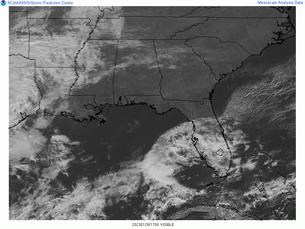
SATELLITE CHECK: As we have crossed over into the 11 am hour, skies across the northern half of the state contain a mix of sun and clouds, while the southern half is full of sunshine. Temperatures were in the upper 40s to the upper 50s. Troy was the warm spot at 58 degrees, while the cool spot was Gadsden at 49 degrees. Birmingham had warmed up to 53 degrees at this point.
REST OF TODAY: We’ll continue to have a mix of sun and clouds through the rest of the afternoon hours, but clouds will begin to increase toward the end of the afternoon and into the evening. Later tonight we could see showers begin to move into the northwestern parts of the area with showers becoming possible along and west of I-59 during the late-night and overnight hours. Highs will top out in the upper 50s to the lower 60s, with overnight lows in the lower to mid 40s.
SUNDAY’S WEATHER: It will be a gray and dreary day across Central Alabama tomorrow as rain will be likely throughout the entire day, some of that rainfall may be heavy at times. There may even be a few rubles of thunder at times. No severe weather is expected for Central Alabama, but a few strong storms will be possible across the Gulf Coast and back into Louisiana and Texas. Highs in the mid 50s to the mid 60s.
NEXT WEEK: Rain ends for much of the area early during the day on Monday, but a few showers can’t be ruled out over the southern portions of Central Alabama late in the afternoon through the evening. Highs in the mid 50s to the lower 70s. Shower chances move back into the area on Tuesday, especially for the northern half of the area. Even when it’s not raining, skies will remain cloudy. Highs in the lower 50s to the upper 60s.
Showers will remain possible across the area on Wednesday, with much of the activity occurring over the northern half of Central Alabama. Highs in the mid 40s to the upper 60s. More rain will move in on Thursday and will be like through the entire day and nighttime hours. Highs in the upper 40s to the upper 60s.
And at the end of the forecast period on Friday… Showers will continue to push through the area during the morning, but we’ll dry out during the remainder of the day. It will be cooler as highs will only be in the upper 40s to the upper 50s.
Category: Alabama's Weather, ALL POSTS
About the Author (Author Profile)
Scott Martin is an operational meteorologist, professional graphic artist, musician, husband, and father. Not only is Scott a member of the National Weather Association, but he is also the Central Alabama Chapter of the NWA president. Scott is also the co-founder of Racecast Weather, which provides forecasts for many racing series across the USA. He also supplies forecasts for the BassMaster Elite Series events including the BassMaster Classic.Subscribe
If you enjoyed this article, subscribe to receive more just like it.


