

The Midday Update — Warming on Up & Remaining Dry for Now
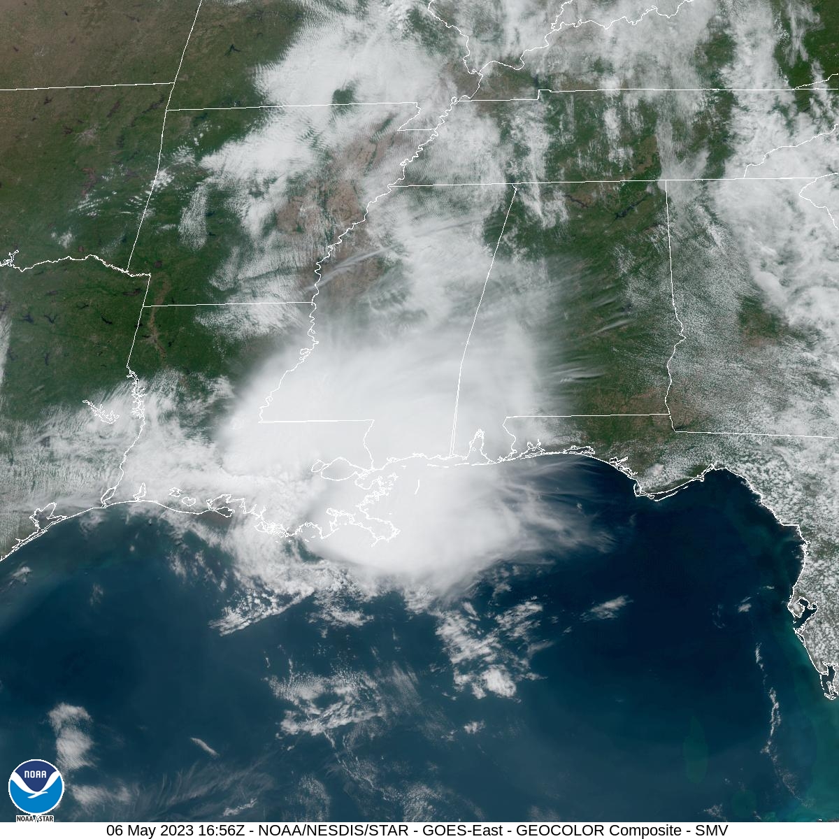
While the clouds have started to erode away over the northwestern portions of the area, we still have a good bit of cloud coverage over the western and southwestern parts of the area, and we’re getting some fair weather cumulus developing over the far eastern parts of the area. Temperatures are up in the mid 70s to the lower 80s as we have reached the midday hour. Troy is the warm spot at 83º. Haleyville was the cool spot at 74º. Birmingham was at 76º.
No change from the earlier update… If you are west of the cities of Cullman to Birmingham to Fort Deposit, you will have a small chance of isolated to scattered showers and thunderstorms through the afternoon and into the evening hours. If you are east of those cities, your daylight hours will remain dry. It will pretty much be the same story for tonight through the overnight hours, maybe expanding just a tad eastward to include Montgomery. Lows will be in the upper 50s to the mid 60s.
The forecast continues to be on track for Sunday, as showers and storms may move in from the northwest early and continue southeastward through the day. The higher rain chances will be over the northern two-thirds of the area (north of Demopolis to Alexander City), with slightly smaller rain chances south of that. Temperatures will once again range throughout the 80s across the area.
Category: Alabama's Weather, ALL POSTS
About the Author (Author Profile)
Scott Martin is an operational meteorologist, professional graphic artist, musician, husband, and father. Not only is Scott a member of the National Weather Association, but he is also the Central Alabama Chapter of the NWA president. Scott is also the co-founder of Racecast Weather, which provides forecasts for many racing series across the USA. He also supplies forecasts for the BassMaster Elite Series events including the BassMaster Classic.Subscribe
If you enjoyed this article, subscribe to receive more just like it.


