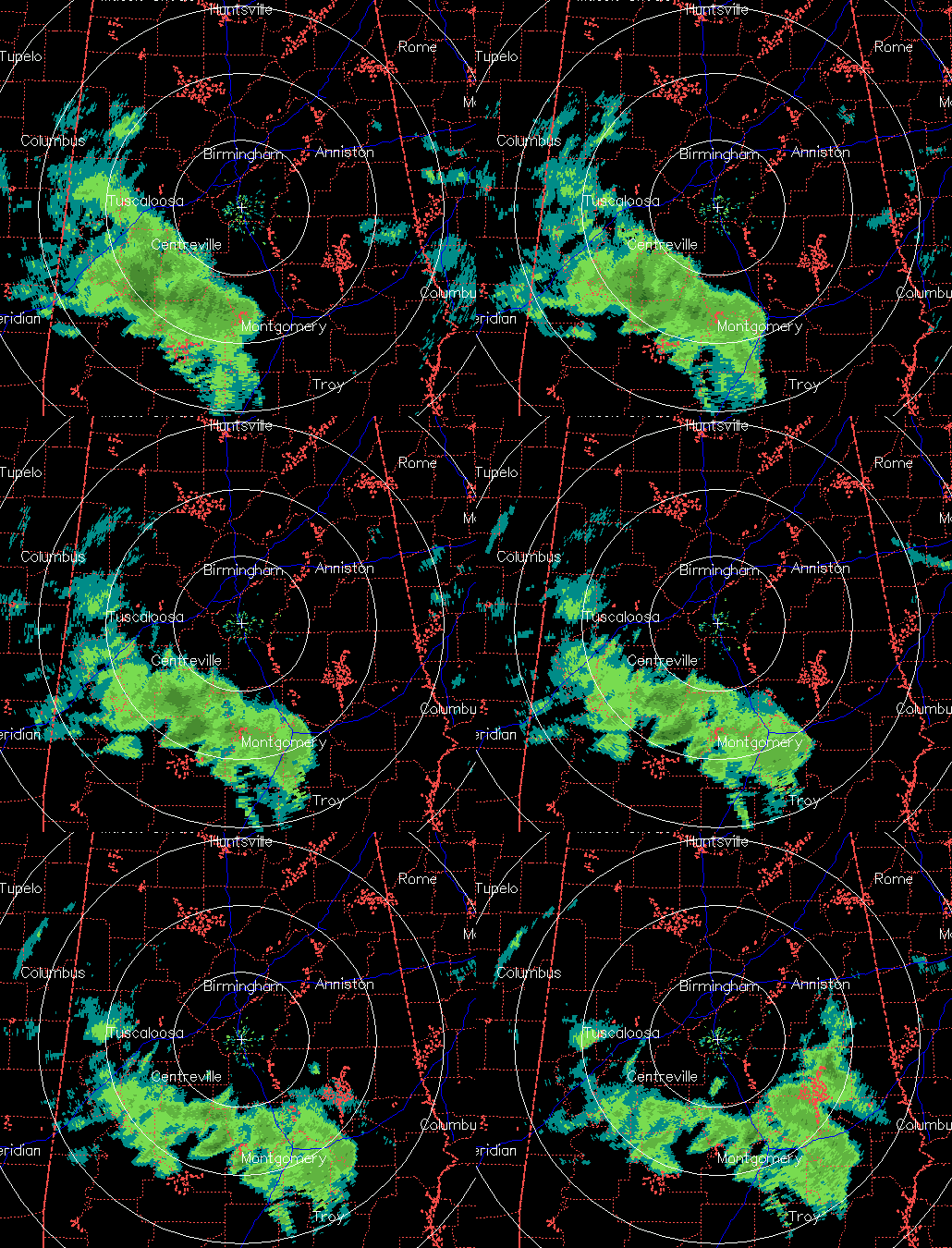
An area of light snow is moving across central and south Alabama right now on radar. This snow is associated with an upper-level disturbance.
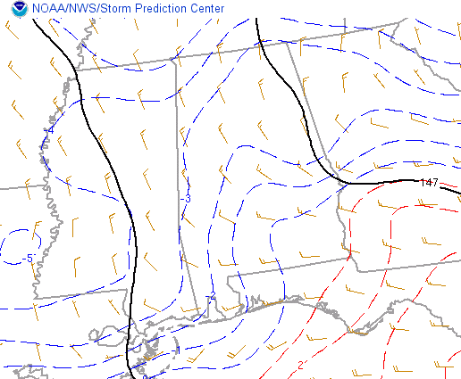
The air is plenty cold enough, even in most of south Alabama, for snow. Generally, when the temperature at 850 mb (about 4,000 feet) is below freezing (0 C), precipitation will fall as snow. Here are current 850 mb temperatures:
Note that the blue lines, or temperatures at or below freezing at 850 mb, extend as far south as a line from Phenix City to Highland Home to Florala.
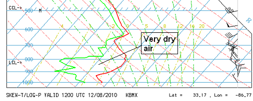
So, why are we not seeing a significant snow event? Due to the slight angle the radar shoots at, and the curvature of the earth underneath the radar beam, the radar is seeing what is going on at 5,000 to 10,000 feet over south Alabama. The air below that is very dry, and a lot of the snow is sublimating, or turning directly from snow to water vapor, due to the dry air. Here is the balloon data from NWS at Calera this morning.
The red line is the temperature profile with height, and the green line is the dewpoint profile. Notice how far apart they are at low levels. This indicates very dry air. The snow is falling into this air and drying up. However, as snow continues to fall into the air, eventually the drying up snow adds enough moisture to the air so that some of the snow can make it to the ground, and this may happen this afternoon over parts of south Alabama. But, it should not be a big deal, with no significant travel problems.
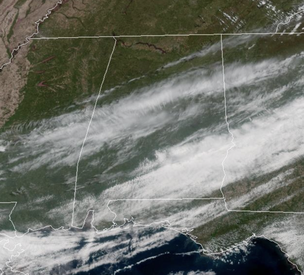
Well, any snow event in Alabama is significant, and there was a dusting of snow already in Cuba, AL in Sumter County (see pictures below). There may be light flurries in the air, especially in areas like Clanton, Montgomery, Alex City, and Auburn, this afternoon, and there could even be a light dusting on grassy areas, cars, etc.


