Severe Weather Thursday?
After a long period of tranquil, dry weather, the weather will become very active over the next 2 weeks, as atmospheric cooling, especially at high latitudes, is associated with the jet stream moving south (more on that in another blog later today).
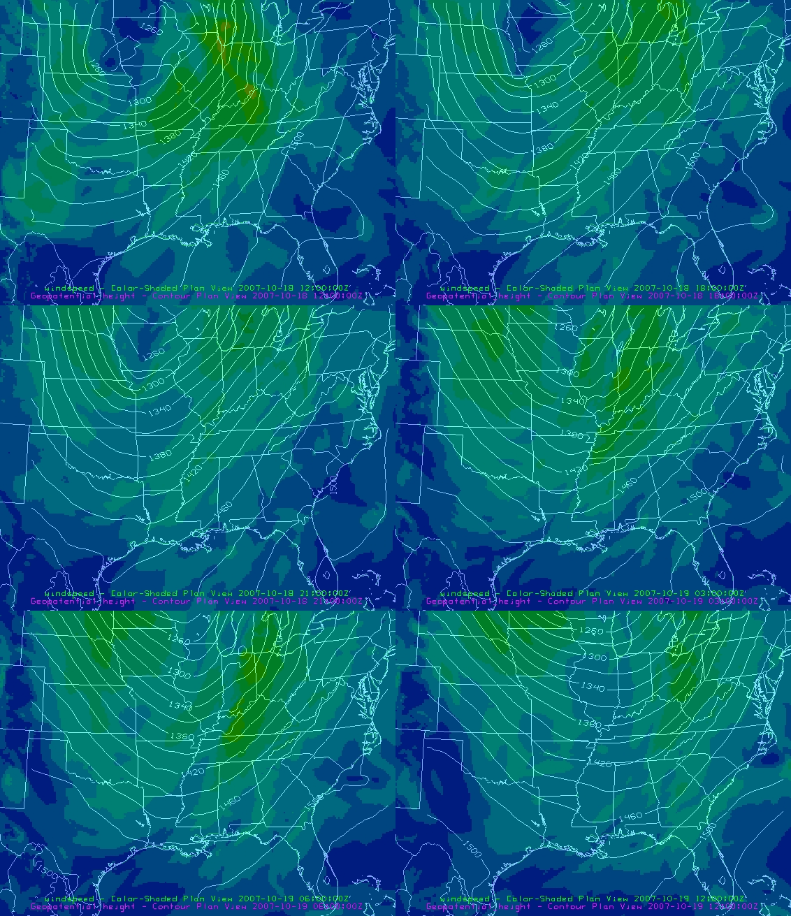
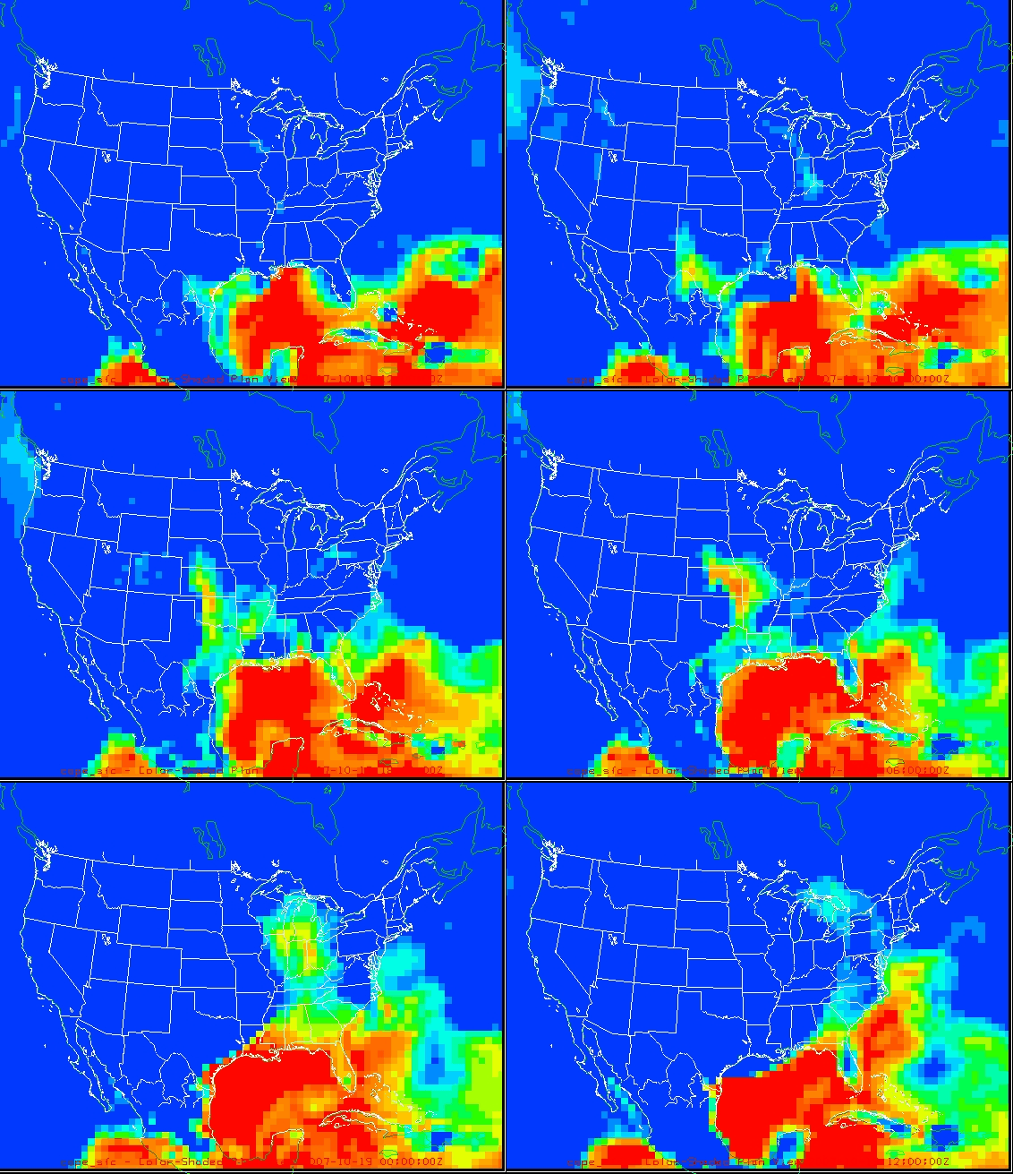
A very potent storm system will develop over the Plains states by Wednesday, as a strong upper-level storm interacts with the Rocky Mountains. Southerly winds out ahead of the system will bring plenty of moisture northward out of the Gulf of Mexico, with our air becoming very unstable by Thursday. Models also indicate very strong wind fields over Alabama by Thursday, with winds at 850 mb (about 4,000 feet) over 40 knots, and large amounts of wind shear, which would support strong storms and possibly even tornadoes. Looking at the NAM model, the Energy-Helicity Index, a combination of instability (CAPE) and helicity, should peak in Alabama sometime Thursday afternoon or Thursday night, near 1.5. (1.0 is typically required for tornadoes).
Of course, timing and intensity could change, but this is our first potentially dangerous storm system in a long time, so keep an eye on it. SPC has already placed Alabama in a slight risk for severe storms on Thursday, and is discussing the possibility of raising that to moderate risk later.
Below are loops of the GFS model forecast 850 mb field and CAPE (instability) field, from 7 am today through 7 am Friday. One image every 6 hours.


Category: Uncategorized


