Heads Up Walker/Jefferson
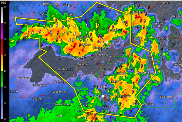
Widespread wind damage was reported across Walker and parts of Jefferson Counties earlier this morning and now it appears this next round will be bad as well for Jefferson and Shelby Counties.
The NWS is warning that Doppler radar indicated wind velocities are climbing again and are working their way down to the surface.
Be alert for high winds as this next round of storms moves through. They are also accompanied by especially intense lightning and torrential rains. The lightning is really picking up now.
Severe thunderstorm watch until 7.
Severe thunderstorm warning for Jefferson, Walker and Shelby Counties until 5:30.
Category: Alabama's Weather, Severe Weather


