Lunchtime Update
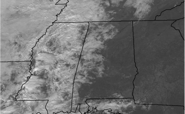
Checking out the latest satellite image, clouds have been moving into Alabama all morning. High clouds have made it into East Alabama. The more widespread and thicker cumulus clouds are running along and west of the Interstate 65 corridor from Huntsville through Birmingham down towards Montgomery. The clouds off to our west in Mississippi will continue to spread east today as our the atmosphere over us really begins to moisten up.
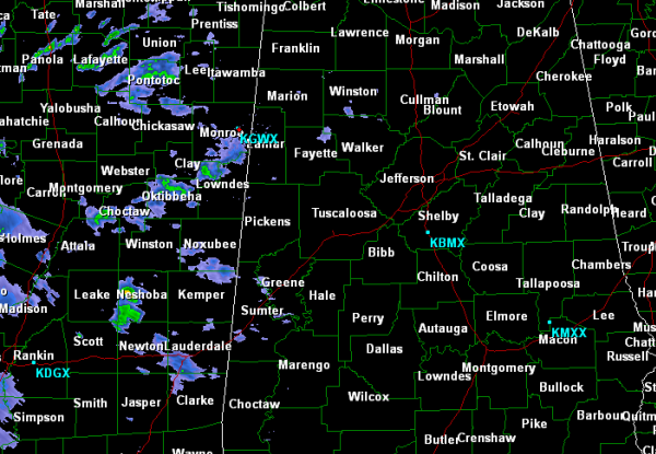
For much of the morning, many locations in Mississippi have been reporting light to moderate rains at times. As the showers have been working towards Alabama, they have been falling apart and dissipating. That is because the air over Alabama is very dry once you get above the surface layer. As the storm system off to our west continues to develop, our moisture levels will be on the increase today, especially with the winds coming out of the south. Expect our radar to fill in this evening as showers and thunderstorms that develop along the front move our directions. Areas in Mississippi, Arkansas, Louisiana and eastern Texas are under a slight risk for severe weather today. No risk for any part of Alabama currently, but we will be watching the storms once they fire up and begin their march to the east southeast with the cold front. Damaging winds and large hail look to be the the SPC’s greatest concerns with thunderstorms that develop today.
Category: Alabama's Weather


