Morning Update
Extremely busy this morning with ongoing severe weather and won’t be able to post a Weather Xtreme video… but some notes…
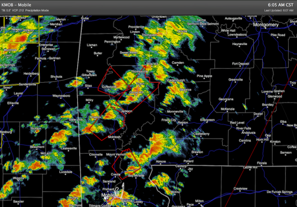
*A tornado touched town in the western and northern part of Mobile in the 4:50-5:00 a.m. time frame. Damage to the Mobile Airport, numerous homes damaged, with some entrapments, debris closing I-65 in both directions reported. Have not heard of injuries so far.
*The primary tornado threat will be over the southern half of Alabama… if you are in South Alabama and hear a tornado warning, please take it seriously this morning.
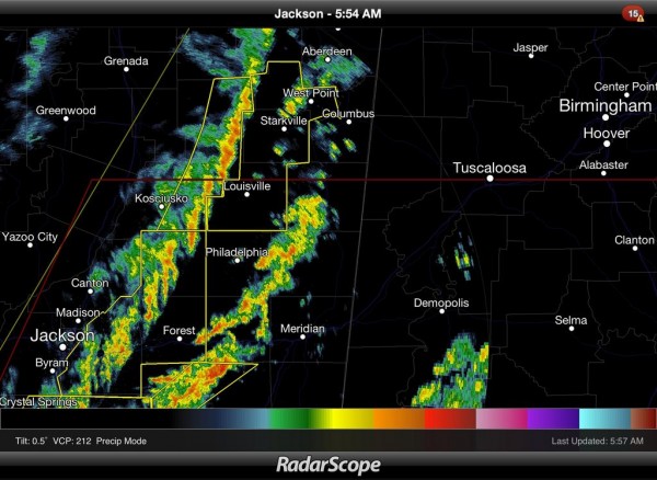
*A squall line over Mississippi will move through North-Central Alabama later this morning with potential for strong straight line winds, possibly exceeding 50 mph. This will knock down trees and power lines.
*These storms will enter West Alabama around 7:00… Tuscaloosa possibly around 8:00; Birmingham around 9:00; Anniston/Gadsden around 10:00. The main threat will come from straight line winds, but a small, isolated spin-up tornado can’t be ruled out.
*The day will be very windy; even away from storms winds will average 15-30 mph today. This in itself is enough to knock down trees and power lines.
Below is a radar check over Southeast Alabama as of 6:05 a.m.
Category: Alabama's Weather


