

Let’s Look At Thursday
The new (12Z) GFS still wants bring a cold core upper low right on top of us Thursday, with potential for some light snow accumulation under the cold pool.
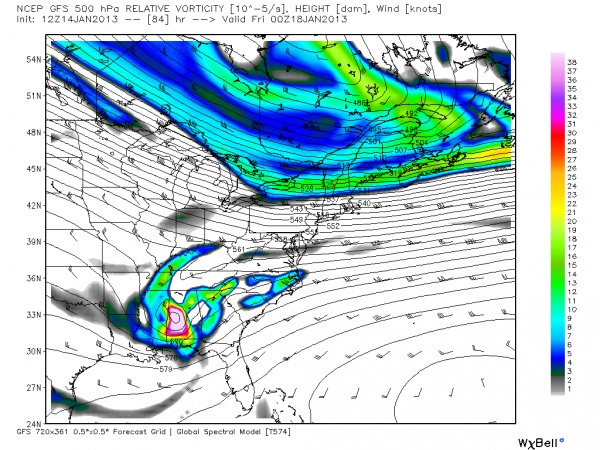
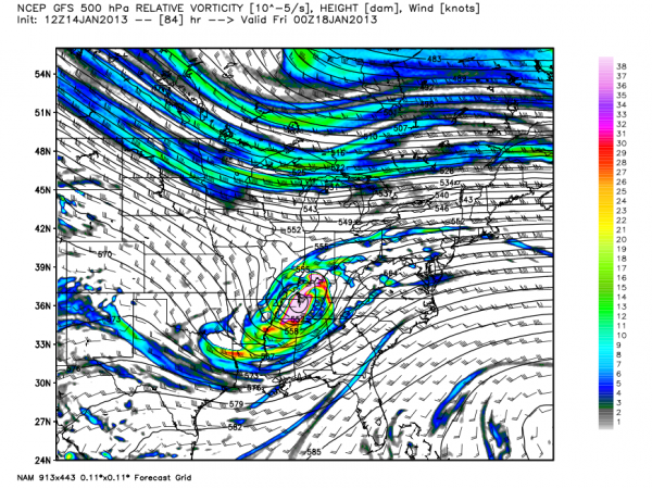
BUT… not so fast… the 12Z NAM shows the cold core passing north of Alabama, with nothing but rain here.
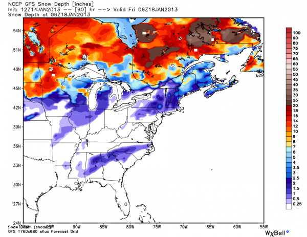
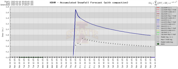
Don’t get too excited about the snow potential for now… surface temperatures should be above freezing, and even if we get enough dynamic cooling for snow I am not sure it will accumulate. Let’s keep an eye on future runs before we really jump on the snow bandwagon…
Category: Alabama's Weather
About the Author (Author Profile)
James Spann is one of the most recognized and trusted television meteorologists in the industry. He holds the AMS CCM designation and television seals from the AMS and NWA. He is a past winner of the Broadcast Meteorologist of the Year from both professional organizations.Subscribe
If you enjoyed this article, subscribe to receive more just like it.


