

Snow Showers To Kick Off The Weekend
**No afternoon Weather Xtreme video today; we will be at Academy Sports on Highway 150 in Hoover from 3:30 until 6:30 p.m. programming NOAA Weather Radio receivers; come see us if you need help**
THIS AFTERNOON: Nice to see the sunshine across North Alabama this afternoon; temperatures are generally in the mid to upper 50s. The sky will stay clear tonight, and we drop into the mid 30s by daybreak tomorrow.
We turn colder in coming days; the high will be near 50 tomorrow, and in the upper 40s Friday. Expect a mix of sun and clouds tomorrow, and the sky becomes mostly cloudy Friday. A few snow showers will likely move into the northern half of Alabama Friday night.
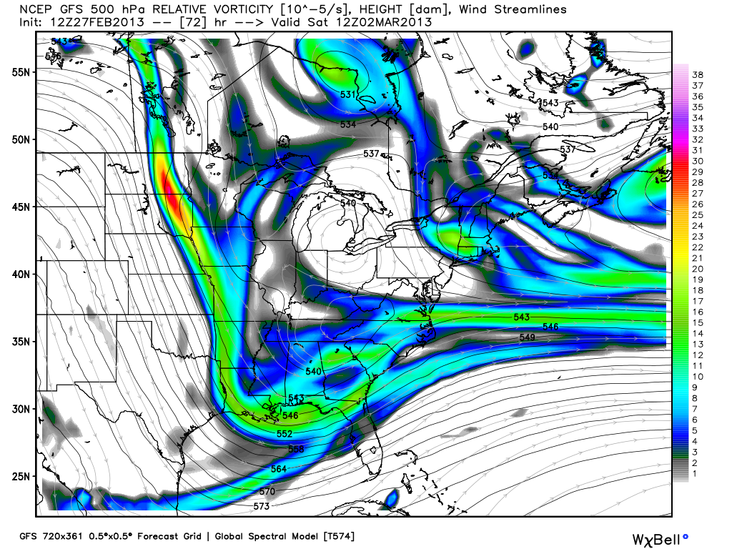
WINTRY WEEKEND: Not much change in the overall thinking. Snow showers are likely from about midnight Friday night through 9:00 p.m. Saturday. The snow won’t be continuous, and the showers will be somewhat scattered, but a few heavier convective bursts of snow will be possible thanks to a deep, cold core upper low moving over North Alabama.
Below is the GFS snow depth valid at midnight Saturday night…
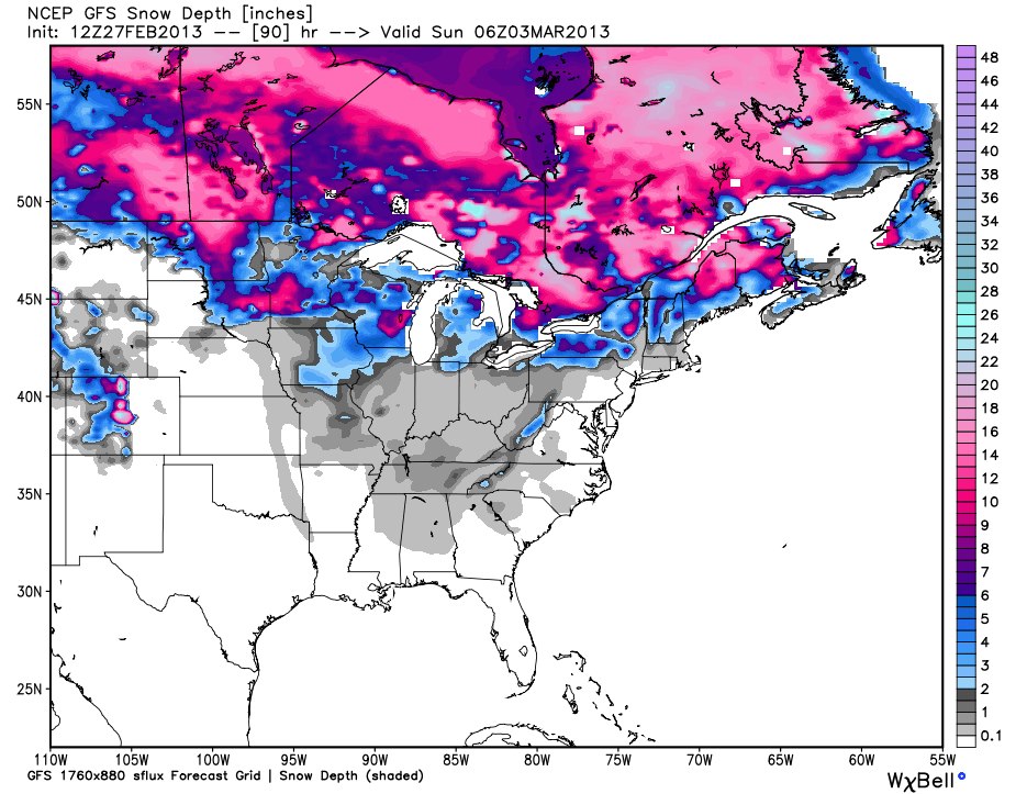
Looks like a dusting up to one-half inch on grassy areas for the northern two-thirds of Alabama; isolated amounts over one inch are possible across higher terrain of Northeast Alabama, mainly above 1,000 feet. Temperatures will be above freezing, and for now travel problems are not expected.
Otherwise, the day Saturday will be windy and cold as we will have a hard time getting into the low 40s. It will be raw and blustery.
COLD MORNINGS: We project lows between 23 and 28 early Sunday, and in the 20-25 degree range early Monday. Colder valleys across North Alabama have a good chance of seeing upper teens at daybreak Monday, very close to record levels for early March in Alabama. We should mention Sunday will be cold and dry with a high in the low to mid 40s.
NEXT WEEK: A warming trend begins Monday afternoon; we might see the low 60s by Tuesday. A cold front will bring a chance of showers Tuesday night, followed by cooler air Wednesday. The rain Tuesday night won’t be too heavy with very limited moisture. See the morning Weather Xtreme video for more long range ideas.
STORM ALERT 2013: Our annual severe weather awareness tour across Alabama wraps up tomorrow night at Clay-Chalkville High School. We will share lessons learned after the April 27, 2011 generational tornado event, along with other amazing weather stories. Learn how to keep your family safe during severe weather, and have a chance to win some cool prizes as well. The show begin at 6:30… be sure and get there early to get a good seat.
WEATHER BRAINS: Don’t forget you can listen to our weekly 90 minute netcast anytime on the web, or on iTunes. This is the show all about weather featuring many familiar voices, including our meteorologists here at ABC 33/40.
CONNECT: You can find me on all of the major social networks…
I had a great time today seeing the 4th and 5th graders at Sumiton Elementary/Middle School in Walker County… be looking for them on the Pepsi KIDCAM today at 6:00 on ABC 33/40 News… the 3rd graders from Ohatchee Elementary will be on the KIDCAM at 5:00. Look for the next Weather Xtreme video here by 7:00 a.m. tomorrow…
Category: Alabama's Weather
About the Author (Author Profile)
James Spann is one of the most recognized and trusted television meteorologists in the industry. He holds the AMS CCM designation and television seals from the AMS and NWA. He is a past winner of the Broadcast Meteorologist of the Year from both professional organizations.Subscribe
If you enjoyed this article, subscribe to receive more just like it.


