

Spotty Snow Showers Continue
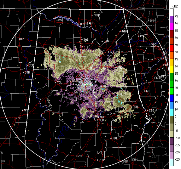
Across Central Alabama snowflakes and some light snow showers continue late this afternoon and evening. Snow should continue into the overnight hours but should really begin to taper off around midnight. Across portions of northern Tuscaloosa, Walker, Jefferson, Blount and St. Claire Counties, there are some more intense snow echoes showing up on radar. That activity will continue to drift south for the next few hours. Some snow showers are showing up in Tallapoosa County around Alexander City too.
Still no significant accumulations and no road or travel problems. We should make it through this event with very little impacts. Across the Tennessee Valley, there is a chance for a few slick spots later tonight, but most locations should be ok.
Throughout tonight, clouds and snow should get out of here and clearing skies will allow for temperatures to drop into the lower to mid 20s by tomorrow morning. Bundle up as you head out the door in the morning.
Category: Alabama's Weather, Winter Weather
About the Author (Author Profile)
Macon, Georgia Television Chief Meteorologist, Birmingham native, and long time Contributor on AlabamaWX. Stormchaser. I did not choose Weather, it chose Me. College Football Fanatic. @Ryan_StinnetSubscribe
If you enjoyed this article, subscribe to receive more just like it.


