

Cold Air Arrives Tonight; Some Snow Possible
An all new edition of the ABC 33/40 Weather Xtreme video is available in the player on the right sidebar of the blog. You can subscribe to the Weather Xtreme video on iTunes by clicking here.
NICE DAY TODAY: Lingering clouds this morning will go away soon and we expect a pretty decent amount of sunshine today across the great state of Alabama with a high in the 57 to 60 degree range.
But, clouds return tonight ahead of a Clipper that will bring much colder air into the Deep South tomorrow.
SNOW FLAKES? Not much change in our overall thinking since yesterday. Confidence is high that we will see snow flurries, or maybe even some convective type snow showers around here (North-Central Alabama) after midnight tonight, and during the day tomorrow.
As always, the tricky part is dealing with accumulation potential.
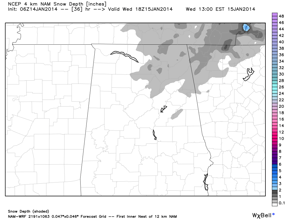
The problem with this is that snow showers are much like rain showers on a summer afternoon in Alabama. They can be scattered in random places, and precipitation is very uneven. A few communities could see a heavier snow burst briefly tomorrow morning, perhaps making the ground white, but most places won’t see any accumulation.
We do note the GFS model brings the temperature down to 31 degrees early tomorrow, so where there is a heavier snow shower, a slick spot or two on roads is certainly not out of the question.
BOTTOM LINE: Some light snow is likely tomorrow morning over much of North and Central Alabama, but widespread accumulation is not expected. However, heavier snow showers could make the ground white in a few spots, and where this happens there could be isolated travel issues. Best thing to do is get up a little early tomorrow and check the blog to see if we have any issues.
The best chance of seeing some snow accumulation tomorrow will be across high terrain of Northeast Alabama, especially over 1,000 feet.
MUCH COLDER: We will struggle to get out out of the 30s tomorrow with a chilly northwest wind of 10-20 mph. Then, by daybreak Thursday, we will see temperatures dropping down into the low 20s.
Thursday will offer a one day warm-up, with a high in the low 50s along with a mostly sunny sky.
ANOTHER COLD SHOT FRIDAY: Yet another Clipper will bring more cold air down into Alabama Friday. Much like tomorrow, we might not get out of the 30s with a brisk and cold northwest wind. I guess there could be a few snow flurries early Friday, but moisture is very limited with this and most places won’t see any precipitation.
THE ALABAMA WEEKEND: Saturday morning will be very cold with a low between 17 and 22 degrees. But, the weekend will feature sunshine in full supply both Saturday and Sunday. We warm into the upper 40s during the afternoon hours both days.
LONG RANGE: The weather continues to look very changeable for the rest of January with occasional shots of cold air that don’t last long. Take some time to watch the Weather Xtreme video for the maps, graphics, and details.
WEATHER BRAINS: Don’t forget you can listen to our weekly 90 minute netcast anytime on the web, or on iTunes. This is the show all about weather featuring many familiar voices, including our meteorologists here at ABC 33/40. Scroll down for the show notes on the new episode we recorded last night.
CONNECT: You can find me on all of the major social networks…
Facebook
Twitter
Google Plus
Instagram
Busy day ahead… I will be doing a weather program for a home school group in Gardendale this morning, and then another program later at Crestline Elementary in Mountain Brook. Look for the next Weather Xtreme video here by 4:00 or so this afternoon. Enjoy the day!
Category: Alabama's Weather
About the Author (Author Profile)
James Spann is one of the most recognized and trusted television meteorologists in the industry. He holds the AMS CCM designation and television seals from the AMS and NWA. He is a past winner of the Broadcast Meteorologist of the Year from both professional organizations.Subscribe
If you enjoyed this article, subscribe to receive more just like it.


