Alabama 811 | Know What's Below.

Archive for June 19th, 2015

Severe Thunderstorm Warning for Northwest Tip of Alabama

Severe Thunderstorm Warning for Northwest Tip of Alabama

| June 19, 2015 @ 4:29 pm

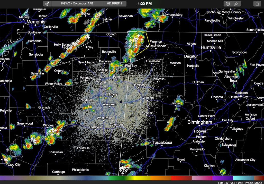
The NWS in Huntsville has issued a severe thunderstorm warning for parts of Colbert and Lauderdale Counties for strong storms west of the Quad Cities area of Northwest Alabama. The storms are moving northeast at 35 mph and should stay just west of Muscle Shoals and Florence. Other storms over eastern Mississippi will affect Franklin […]

Read More

Storms Approaching Northwest Alabama

Storms Approaching Northwest Alabama

| June 19, 2015 @ 2:29 pm

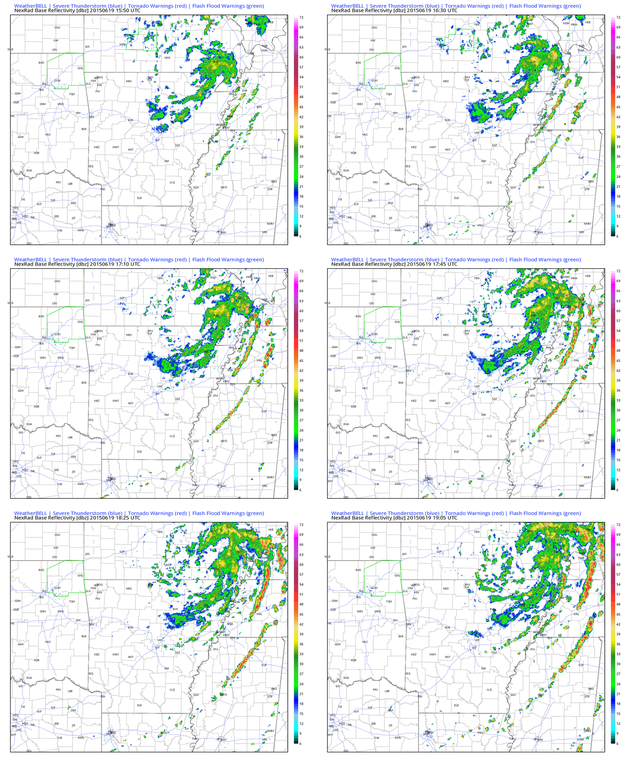
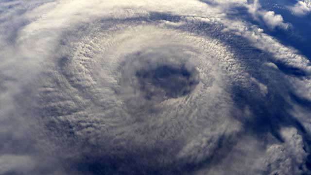
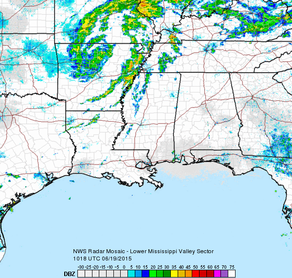
The surface low that is the remnant of Tropical Storm Bill is still very well defined this afternoon over southern Missouri, approaching Cape Girardeau. There are distinct “feeder bands” or spokes of vorticity rotating around the system. One thin line of storms is approaching Northwest Alabama at this hour. The convection will be into Northwest […]

Read More

Sharing the ‘Good News’ From Alabama NewsCenter

Sharing the ‘Good News’ From Alabama NewsCenter

| June 19, 2015 @ 1:04 pm

Our partners at Alabama NewsCenter launched a new website a few days ago with the aim of providing a statewide site for good news about our state, with an emphasis on business, economic development, communities, people and innovation. The Alabama NewsCenter site also serves as an outlet for Alabama Power news, so you can stay […]

Read More

Slightly Less Heat

Slightly Less Heat

| June 19, 2015 @ 6:32 am

The upper ridge weakened some yesterday resulting in a slight drop in our afternoon highs, but only a slight drop amounting to 2 or 3 degrees. But glad to have any amount shaved off those highs. As the remnants of Bill continue to trek slowly across the Ohio River Valley today and tonight and into […]

Read More