Alabama 811 | Know What's Below.

Archive for June 27th, 2015

Quick Evening Update

Quick Evening Update

| June 27, 2015 @ 7:07 pm

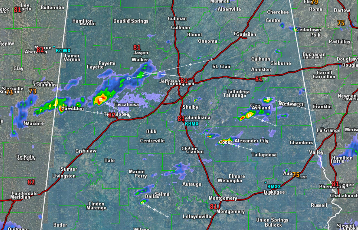
We continue to see a few showers and storms across Central Alabama this evening, however most locations are dry. Many areas today have seen storms, but the bulk of that activity has shifted over into Georgia. At this time, we are tracking a a cluster of storms approaching Tuscaloosa from the northwest and we are […]

Read More

Afternoon Update

Afternoon Update

| June 27, 2015 @ 2:28 pm

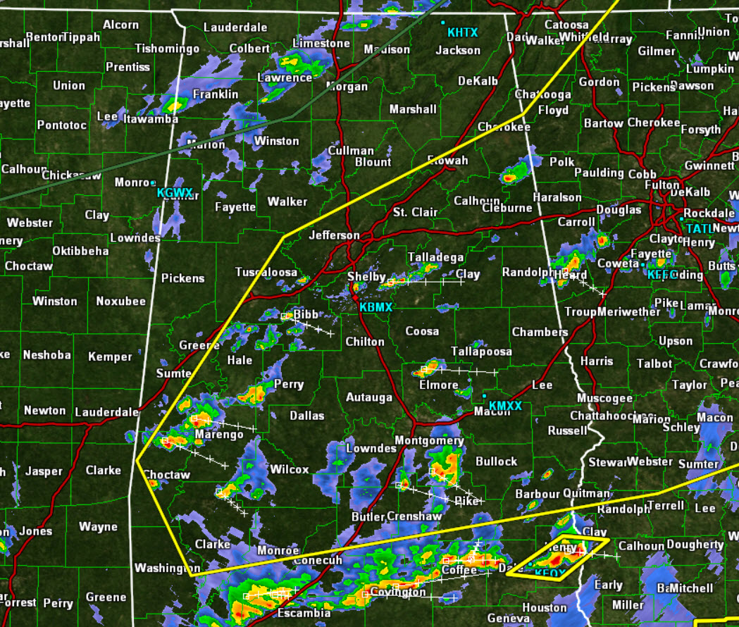
It certainly is a muggy afternoon across the area. These humid conditions are providing ample fuel for showers and storms across the state and we are seeing a lot of activity on the radar this afternoon. All this activity is out ahead of a frontal boundary that continues to sink towards the south. The front […]

Read More

Severe Weather Risk Upgraded to “Slight”

Severe Weather Risk Upgraded to “Slight”

| June 27, 2015 @ 12:04 pm

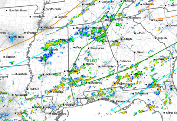
Our friends at the Storm Prediction Center have extended the “slight risk” area southwestward into much of Georgia and Alabama. Earlier today, we were under the standard “marginal risk”. The risk area is within this green line that does include the Interstate 59 and Interstate 85 corridors. That means the population centers of Birmingham, Tuscaloosa, […]

Read More

Numerous Storms but Drier Sunday

Numerous Storms but Drier Sunday

| June 27, 2015 @ 6:50 am

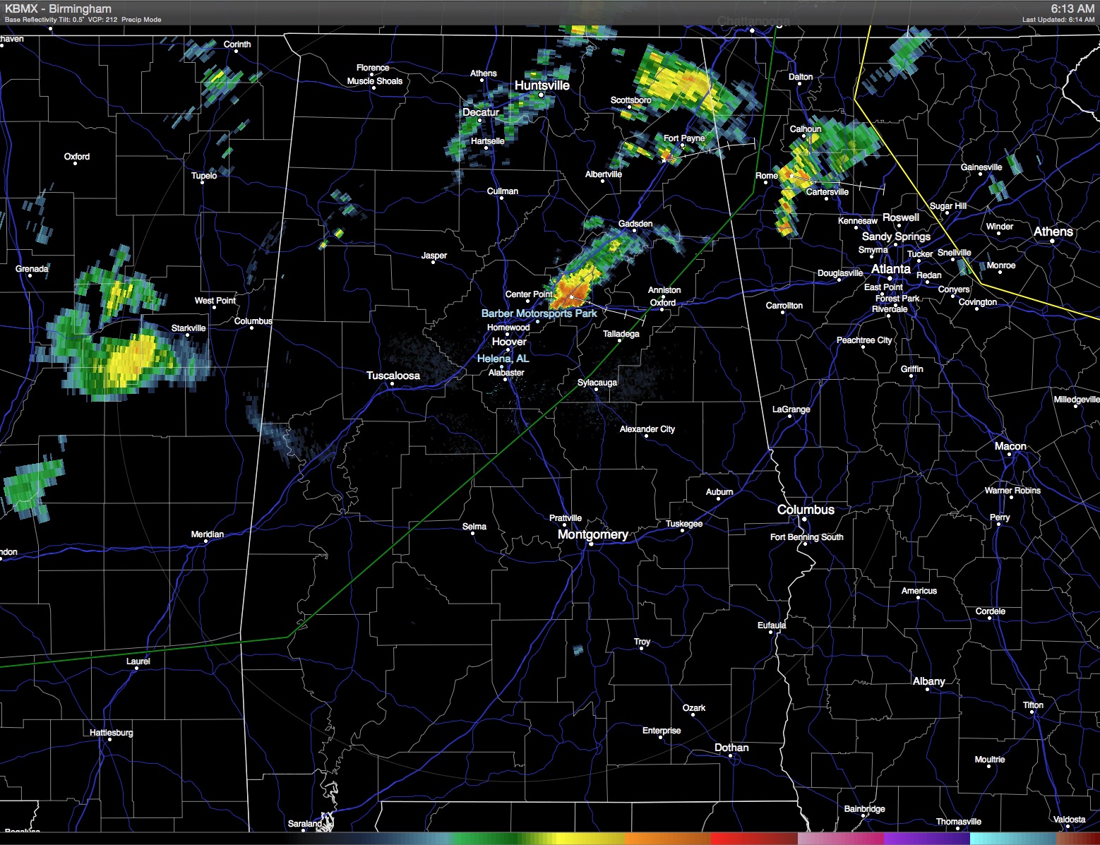
We’ve been talking about the pattern change for over a week now and that change is underway. With a cold front draped across the Mid-South, look for numerous showers and thunderstorms today ending into the evening hours as the front progresses southward. Even though coverage of storms will be fairly widespread, it is possible to […]

Read More