Alabama 811 | Know What's Below.

Archive for August 24th, 2015

Erika Forms

Erika Forms

| August 24, 2015 @ 11:23 pm

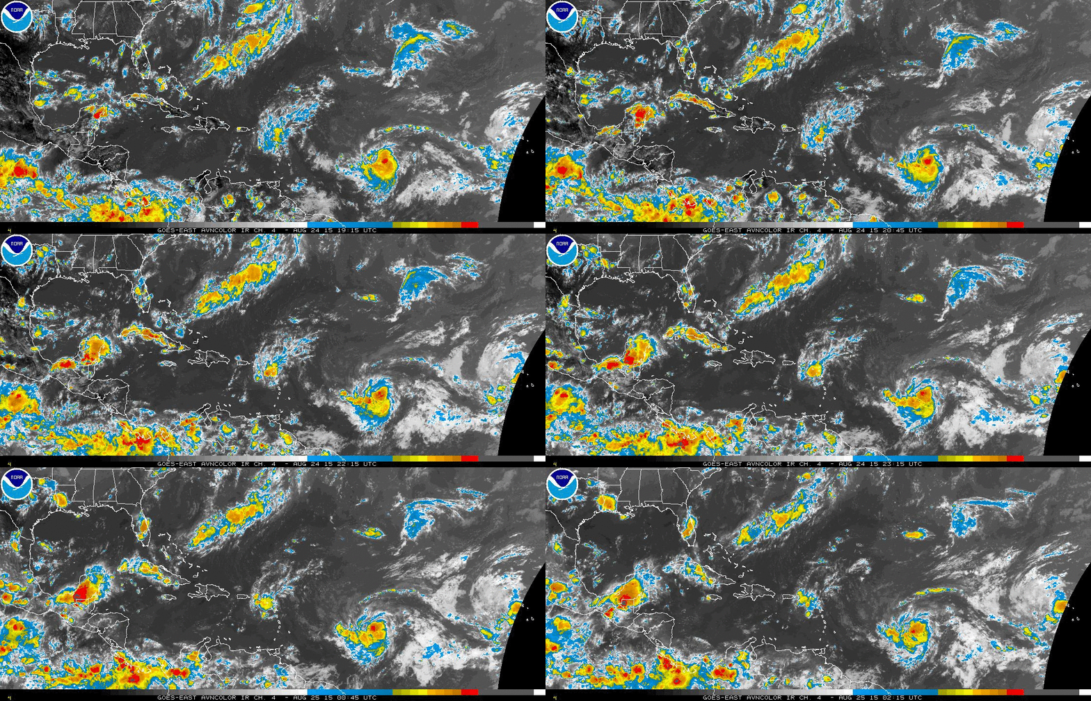
The NHC has named the system in the Central Atlantic about 950 miles east of the Leeward Islands tonight. It is Tropical Storm Erika. Here are the Fast Facts on Erika: SUMMARY OF 1100 PM AST…0300 UTC…INFORMATION ———————————————– LOCATION…14.4N 47.7W ABOUT 955 MI…1535 KM E OF THE LEEWARD ISLANDS MAXIMUM SUSTAINED WINDS…45 MPH…75 KM/H PRESENT […]

Read More

Cooler, Drier Air Arrives Tonight

Cooler, Drier Air Arrives Tonight

| August 24, 2015 @ 3:35 pm

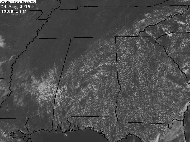
ON THE MAPS: At mid-afternoon a cold front is lined up from near Athens to Vernon… you can pick it out by the northern edge of the cumulus field across Alabama… A few scattered storms have formed ahead of the front, best chance of them this evening will be over the southern half of the […]

Read More

Refreshing Airmass Arrives Tonight

Refreshing Airmass Arrives Tonight

| August 24, 2015 @ 6:24 am

COLD FRONT ON THE WAY: We will mention the risk of a few widely scattered showers and thunderstorms along that front this afternoon, but the air over Alabama is relatively dry and stable for August, so the showers should be pretty widely spaced, and many communities will be dry today. The high this afternoon will […]

Read More