Midday Nowcast: A Tale of Two Air Masses
The state of Alabama is currently being bisected by a stalled frontal boundary roughly along the U.S. 80 corridor running from Demopolis east to Selma, Montgomery, and Phenix City. Just to the north of this boundary and across South Alabama, it remains rather muggy with dew points in the 70s, however, across northern portions of Alabama, dew points are in 50s and 60s and oh so comfortable.
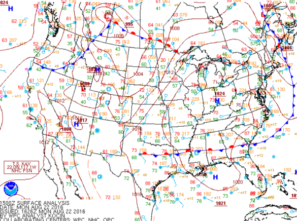
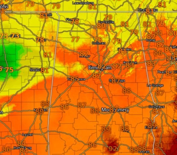
The drier air is ever so slowly trying to move south through the state, but it is having a hard time doing so as the upper-level support is lacking. Due to the continue elevated dew points roughly along and south of the Interstate 20 corridor, the threat of showers and storms will remain in the forecast for this afternoon. For northern portions of the state, temperatures are in the 70s at midday, while 80s and 90s are widespread for the southern two-thirds of the state.
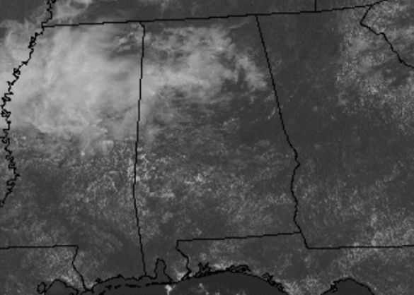
Outside early this afternoon we are seeing more sun than clouds, but clouds will continue to increase in coverage the next several hours as those showers and storms start to develop across the state.
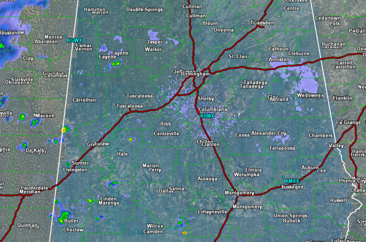
Speaking of those showers and storms, they are beginning to pop-up across the Alabama landscape. As we have seen the past several weeks, storms that develop today are going to produce brief heavy downpours, gusty winds, and frequent lightning. The majority of today’s activity will be along and south of Interstate 20, however, showers are possible north of there, as far north as the U.S. 278 corridor.
The rest of today, look for a mix of sun and clouds, with scattered showers and storms that will likely continue at least through the evening hours, before gradually winding down overnight. Lows tonight will be able to get down into the 60s east of Interstate 65, while lower 70s expected west of there. You will notice the slightly direr and less humid air.
Category: Alabama's Weather
About the Author (Author Profile)
Macon, Georgia Television Chief Meteorologist, Birmingham native, and long time Contributor on AlabamaWX. Stormchaser. I did not choose Weather, it chose Me. College Football Fanatic. @Ryan_StinnetSubscribe
If you enjoyed this article, subscribe to receive more just like it.


