

Mainly Sunny Skies And Starting To Warm Up At Midday
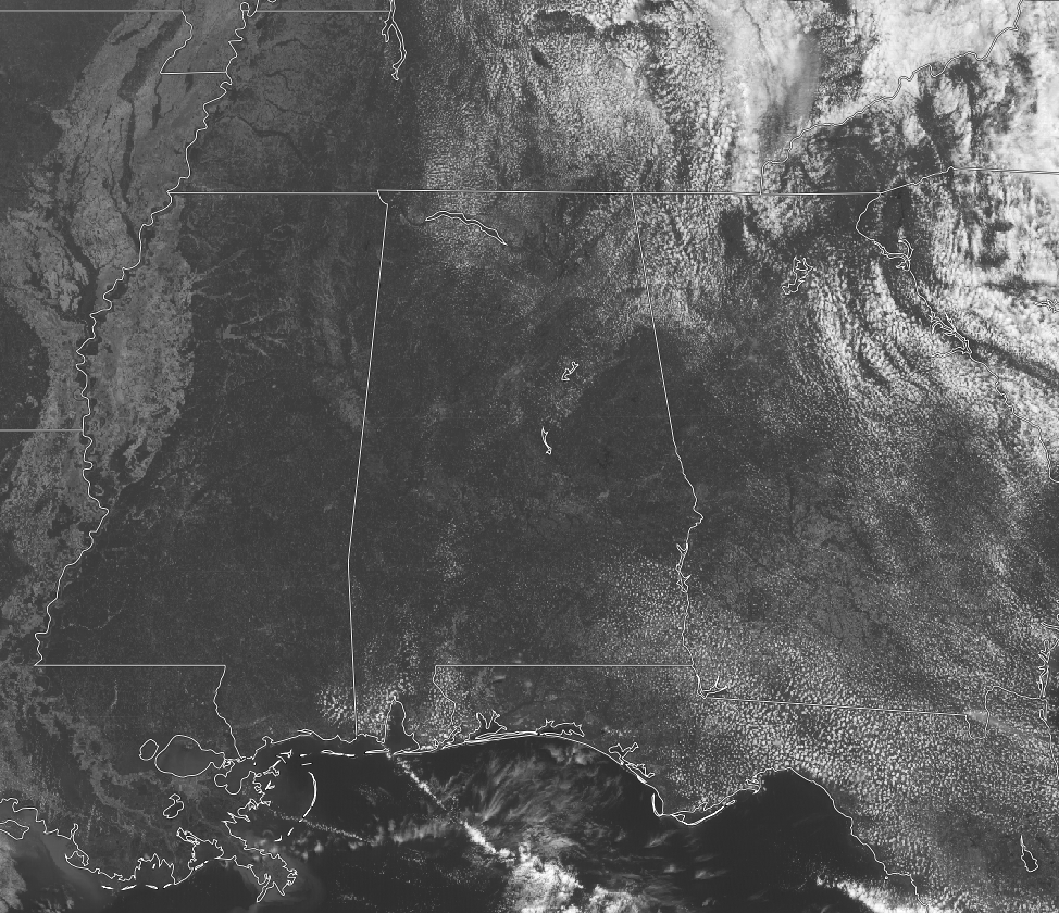
Here is the latest visible satellite image from GOES-16 (preliminary, non-operational) and it is showing mostly clear skies over Central Alabama at the noon hour. And as you would expect with a satellite image like that, there is no rain showing up on radar. You can expect much of the same for the rest of today, as skies will continue to be mostly clear, and highs will reach the low to mid 80s. Those mostly clear skies will continue over into the evening and overnight hours, with lows dropping into the mid to upper 50s across Central Alabama.
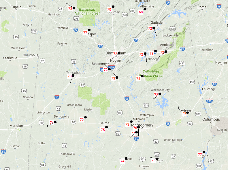
TEMPERATURES ACROSS CENTRAL ALABAMA AT 12:28PM
Temperatures are mainly in the 70s at this point on Tuesday. The warm spots are currently Montgomery and Eufaula at 77 degrees. The cool spot is Cullman at 70 degrees.
It will be another beautiful and warm day across Central Alabama on Wednesday. The day will start off cool in the mid to upper 50s under mostly clear skies, but temperatures will warm quickly into the mid to upper 80s for the afternoon highs across the area. Most of the evening will be mostly clear, but clouds will be moving in, along with the risk for showers and storms over the western half of the area. SPC has the extreme western locations of the area defined in a marginal risk for severe storms, with the main threat being from gusty winds. The tornado threat is very, very low, but not zero. Have a way to receive warnings during the overnight hours. Lows will be in the lower to mid 60s.
The marginal risk moves over into the east and central portions of Central Alabama for the day on Thursday. A batch of strong storms will be progressing to the east across the area during the morning hours, reaching the Birmingham metropolitan area by 5AM, and the Gadsden/Anniston areas by 7AM. The good news is that the storms will be occurring during the morning and will keep the overall severe threat down for Central Alabama. We may have a few more storms develop during the afternoon with the destabilization of the atmosphere with the heating of the day, but the main window for storms will be from 2AM until 10AM. Afternoon highs will be in the upper 70s to the lower 80s.
If you would like to see what the weather holds for Ft. Morgan over to Panama City Beach, click here to see the Beach Forecast Center page. Save Up To 25% on Spring Break Beach Vacations on the Alabama Gulf Coast with Brett/Robinson! The Beach Forecast is partially underwritten by the support of Brett/Robinson Vacation Rentals in Gulf Shores and Orange Beach. Click here to see Brett/Robinson’s best beach offers now!
ON THIS DAY IN WEATHER HISTORY – April 25, 1990
Thunderstorms produced severe weather from Texas to Nebraska. Thunderstorms spawned fifteen tornadoes, including a powerful (F-4) tornado near Weatherford TX. Between 3 PM and 8 PM, a storm complex tracking northeastward across central Kansas spawned four tornadoes along a 119-mile path from Ness to Smith Center, with the last tornado on the ground for 55 miles. Del Rio TX was raked with hail two inches in diameter, and wind gusts to 112 mph. Brown County and Commanche County in Texas were deluged with up to 18 inches of rain, and flooding caused more than 65 million dollars damage. Two dozen cities in the north central U.S. reported record high temperatures for the date. Highs of 87 degrees at Flint MI and 90 degrees at Alpena MI were records for April.
WEATHERBRAINS
Don’t forget you can listen to the weekly 90 minute netcast anytime on the web, or on iTunes. This is the show all about weather featuring many familiar voices, including meteorologists at ABC 33/40. Shows are usually produced on Monday evenings starting at 8:30 CDT… you can watch it live here.
Category: Alabama's Weather, ALL POSTS
About the Author (Author Profile)
Scott Martin is an operational meteorologist, professional graphic artist, musician, husband, and father. Not only is Scott a member of the National Weather Association, but he is also the Central Alabama Chapter of the NWA president. Scott is also the co-founder of Racecast Weather, which provides forecasts for many racing series across the USA. He also supplies forecasts for the BassMaster Elite Series events including the BassMaster Classic.Subscribe
If you enjoyed this article, subscribe to receive more just like it.


