

A Check On Central Alabama’s Weather At 4:15AM
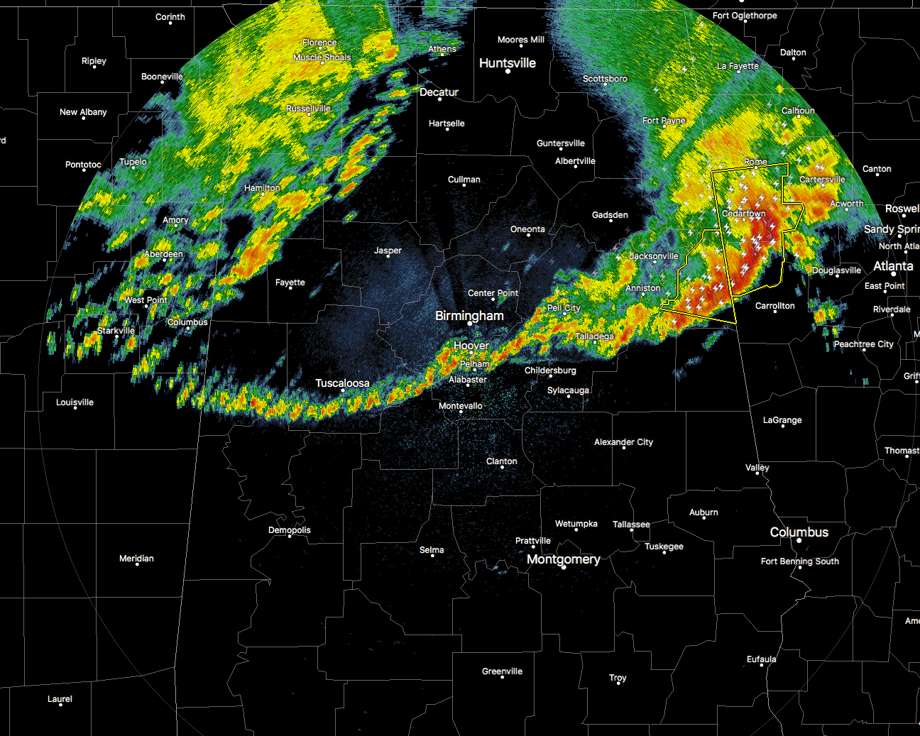
After an early morning that has brought heavy rainfall and strong winds across the northern parts of Central Alabama, things are really starting to calm down at this point. We have just one Severe Thunderstorm Warning in effect for parts of Cleburne County until 4:30AM CDT. A line of thunderstorms is continuing to move off to the east in the eastern part of the area, with a gust front with showers and storms pushing southward off of the western edge of the main line.
The severe threat is also winding down as well, especially when the warned cell in Cleburne County moves off into Georgia. When that happens, I’m sure that the NWS Birmingham will remove the remainder of the Central Alabama counties from the Severe Thunderstorm Watch that remains in effect until 10:00AM CDT.
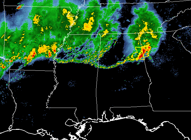
There are more showers and storms back off to the west and northwest over Mississippi, Tennessee, and Arkansas that will move into the state throughout the morning hours, but these should be just your general showers and storms. No severe weather is expected with these.
Category: Alabama's Weather, ALL POSTS
About the Author (Author Profile)
Scott Martin is an operational meteorologist, professional graphic artist, musician, husband, and father. Not only is Scott a member of the National Weather Association, but he is also the Central Alabama Chapter of the NWA president. Scott is also the co-founder of Racecast Weather, which provides forecasts for many racing series across the USA. He also supplies forecasts for the BassMaster Elite Series events including the BassMaster Classic.Subscribe
If you enjoyed this article, subscribe to receive more just like it.


