Scattered Storms This Afternoon
Clouds were thick across much of Central Alabama this morning. But the clouds were eroding from the west thanks to a strong summer sun. The clouds kept temperatures in the 70s in some spots through late morning, but where sunshine was available, readings were moving well into the 80s. As the stratocumulus clouds burn off and sunshine takes over, they are being replaced by building cumulus clouds.
Some of those are growing into showers and this will continue as we go through the afternoon hours. The taller ones will get enough charge separation to trigger lightning, which is deadly.
Alabama finds itself on the eastern side of a trough of low pressure over Mississippi. This is helping to keep up the moisture transport. Scattered showers and storms will fire by mid-afternoon and should become pretty commonplace through sunset.
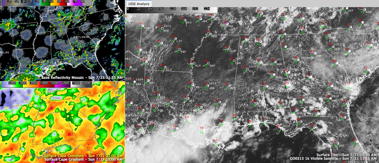
At 11:45 a.m., showers and storms were most commonplace over the Tennessee Valley, but others were developing from Marion and Winston County southeastward through Walker and into western Jefferson County.
A very tropical airmass is over Central Alabama, especially along and south of I-20, where preciptable water values are over 2 inches. This came make for some very efficient rain producing showers.
The storms will be of the garden variety summertime pulse type, so severe weather is not expected as they should collapse before they can become too strong. Still, gusty winds to 40 mph could occur.
We will be tracking another disturbance over northern Missouri to dive into western Kentucky overnight. We will be watching to see if showers and storms associated with this feature can hold together into Northwest Alabama tomorrow morning. If it does, the I-20/59 corridor could see a weakening band of showers and storms from lunchtime into early afternoon with stronger storms forming along its leading edge over South Central Alabama later tomorrow afternoon. Highs today and tomorrow will generally be in the middle 80s.
Category: Alabama's Weather
About the Author (Author Profile)
Bill Murray is the President of The Weather Factory. He is the site's official weather historian and a weekend forecaster. He also anchors the site's severe weather coverage. Bill Murray is the proud holder of National Weather Association Digital Seal #0001 @wxhistorianSubscribe
If you enjoyed this article, subscribe to receive more just like it.


