

Holiday Afternoon Update
Easter egg hunts and other holiday celebrations have enjoyed decent weather on this Sunday.
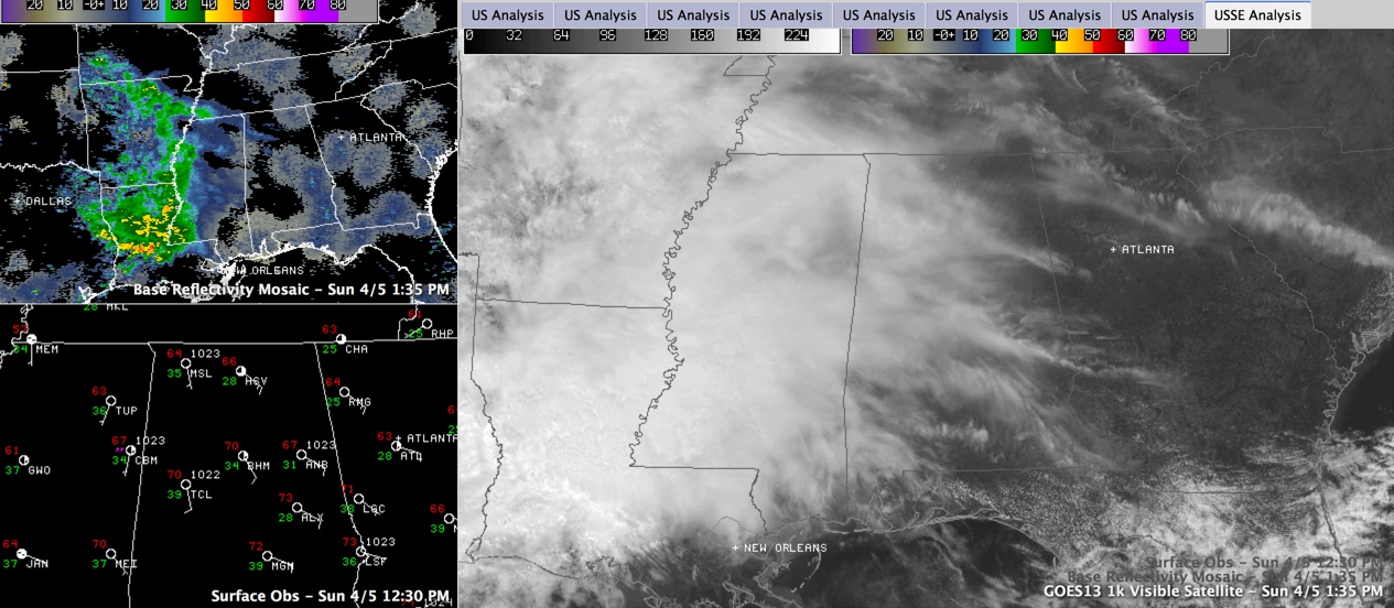
Clouds were overspreading Alabama ahead of our next weather maker. That weather maker is an upper level disturbance and large area of deep moisture over the Arklatex to our west.
Temperatures in the I-20 corridor are in the lower 70s.
Drier air has been flowing in on southeasterly winds circulating around high pressure centered near the Outer Banks of North Carolina. This drier air will serve to delay the arrival of precipitation this afternoon, but showers will be on the increase from the west by tonight. They should remain scattered through the overnight hours, increasing in coverage by tomorrow morning.
There will be a few thunderstorms mixed in on Monday, and some of them could be on the strong side. Any severe weather will be isolated.
After the system moves out, fairly typical late spring weather will prevail in the Tuesday through Thursday time frame even as we monitor severe weather well to our west. Activity over the Plains and Midwest will impact Alabama by Friday, possibly in the form of severe weather. Heavy rain will also be a threat through the weekend.
Category: Alabama's Weather, Severe Weather
About the Author (Author Profile)
Bill Murray is the President of The Weather Factory. He is the site's official weather historian and a weekend forecaster. He also anchors the site's severe weather coverage. Bill Murray is the proud holder of National Weather Association Digital Seal #0001 @wxhistorianSubscribe
If you enjoyed this article, subscribe to receive more just like it.


