

Showers Possible Late Tonight
RADAR CHECK: As you might expect with a good supply of sunshine, we have no showers on radar this afternoon, and a dry airmass is still in place across Alabama. Temperatures are mostly in the upper 70s, and to the north we are watching a cold front just south of I-40 in Tennessee. This front will push into Alabama later tonight, and it is still capable of producing a band of showers after midnight tonight into tomorrow morning.
The main window for showers will come from about 12:00 midnight tonight through 12:00 noon tomorrow, although we can’t rule out a stray shower in spots tomorrow afternoon. Amounts should be under 1/2 inch, and there is no risk of severe weather. Tomorrow will be cooler with a high in the mid to upper 60s over the northern third of the state.
FRIDAY: The day looks generally dry with a high in the low to mid 70s, but a few scattered showers could break out during the afternoon as a warm front begins to lift northward across the state. Rain and storms become widespread Friday night, and that rain could be heavy at times. The risk of severe weather Friday night is low, but not zero.
TWO SEVERE WEATHER SETUPS: This is the core of the spring tornado season, and sure enough it looks like we will have two severe weather threats over the next seven days.
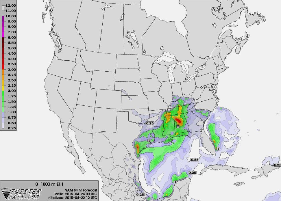
THREAT NUMBER ONE: The first will come during the day Saturday. A surface low will be over Missouri, supported by an upper trough, and a very moist, unstable airmass will be in place. It won’t rain all day Saturday, and the sun could break out at times, but we will forecast a good chance of occasional showers and thunderstorms through the day and into the evening hours. Surface based CAPE values are forecast to exceed 2,000 j/kg by Saturday afternoon, and we are now seeing rather high storm relative helicity values advertised by the GFS (over 300 m2/s2), which could set the stage for rotating updrafts.
This this time, it looks like the core severe weather threat will come from 11:00 a.m. until 8:00 p.m. Saturday, and all modes of severe weather will be possible, including large hail, strong straight line winds, and a few tornadoes. This could, and probably will change as we get closer to the event, but everyone needs to understand severe weather is a distinct possibility Saturday.
Sunday and Monday are looking dry and pleasant, with a good supply of sunshine both days and highs in the 78-82 degree range.
THREAT NUMBER TWO: The second severe weather threat will come in the Monday night-Tuesday time frame. A deep surface low will set up northwest of Alabama with a deep upper trough with strong wind fields. Early indications suggest this could be a significant threat, but keep in mind this is six days away, and it could easily change. Take a few minutes to watch the Weather Xtreme video for the maps, graphics, and more details.
WEATHER BRAINS: Don’t forget you can listen to our weekly 90 minute netcast anytime on the web, or on iTunes. This is the show all about weather featuring many familiar voices, including our meteorologists here at ABC 33/40.
CONNECT: You can find me on all of the major social networks…
Facebook
Twitter
Google Plus
Instagram
I enjoyed speaking this morning at the Jacksonville State University Administrative Conference… look for the next Weather Xtreme video here by 7:00 a.m. tomorrow…
Category: Alabama's Weather
About the Author (Author Profile)
James Spann is one of the most recognized and trusted television meteorologists in the industry. He holds the AMS CCM designation and television seals from the AMS and NWA. He is a past winner of the Broadcast Meteorologist of the Year from both professional organizations.Subscribe
If you enjoyed this article, subscribe to receive more just like it.


