

More Storms Expected
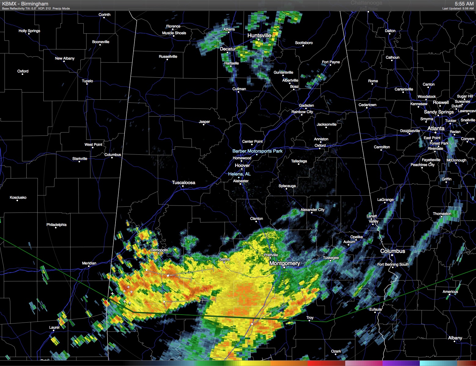
A quick look at the radar this morning showed much of the action occurring across South Alabama where the boundary sagged last night. The flash flood watch issued yesterday was allowed to expire this morning. Additional showers are expected to develop later today in the warmth of the afternoon.
At 500 millibars, the small upper low was located over the eastern half of Tennessee as it slowly migrates northeastward reducing its influence on our weather pattern. As the low gets absorbed into the primary westerly flow and moves into the Mid-Atlantic States, the pattern across the Southeast US will be replaced by gradual ridging as the Bermuda high builds across the southern US from the western Atlantic. This upper air pattern should favor a return to more diurnally driven showers and storms for the week ahead as temperatures also climb back into the lower 90s.
With the westerlies located along the northern tier of the US, another cold front will approach the Ohio and Tennessee River valleys at mid-week but is expected to wash out before we can see any kind of air mass change. This keep the moist air mass in place and keeps scattered showers and storms in the forecast for much of the week ahead.
The Atlantic Basin remains especially quiet as the South Atlantic remains covered by a large mass of dry Saharan air. There was a little more action in the Eastern Pacific where a tropical depression is likely to form early next week well out in the Pacific.
The SPC in Norman, OK, has continued a marginal risk of severe storms along the Gulf and Southeast US coasts for today with an enhanced risk of severe storms centered mainly on South Dakota later in the day. They have only a marginal risk area ahead of that front for Monday or Day 2.
Headed to the beach? About 6 to 8 hours of sunshine daily for the Central Gulf Coast heading into next week, from Dauphin Island to Panama City Beach. Storms will be more numerous today, but each day in the week ahead there will be a decent chance for a passing storm from time to time, fairly typical with the daily sea breeze effect. Highs on the immediate coast will remain in the mid to upper 80s, with lower 90s inland. Sea water yesterday afternoon at Perdido Pass at Orange Beach was reported to be 81 degrees.
Looking out into voodoo country, the GFS continues to advertise the potential for the trough to stay a feature across the eastern US into Week 2. While the ridge builds and decays, the presence of the overall trough across the eastern third of the country is certainly a positive sign for keeping any extreme heat at bay.
James Spann will be back with the next edition of the Weather Xtreme Video first thing on Monday morning. Check back here often for updates on the Central Alabama weather.
-Brian-
Category: Alabama's Weather
About the Author (Author Profile)
Brian Peters is one of the television meteorologists at ABC3340 in Birmingham and a retired NWS Warning Coordination Meteorologist. He handles the weekend Weather Xtreme Videos and forecast discussion and is the Webmaster for the popular WeatherBrains podcast.Subscribe
If you enjoyed this article, subscribe to receive more just like it.


