

A Few Weekend Showers
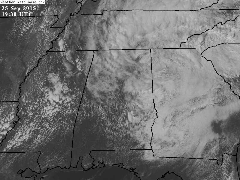
RADAR CHECK: The big rain mass over North Alabama has been shrinking over the past few hours, and we have just a little light rain lingering over the Tennessee Valley this afternoon. We do note new showers are forming over West Alabama.
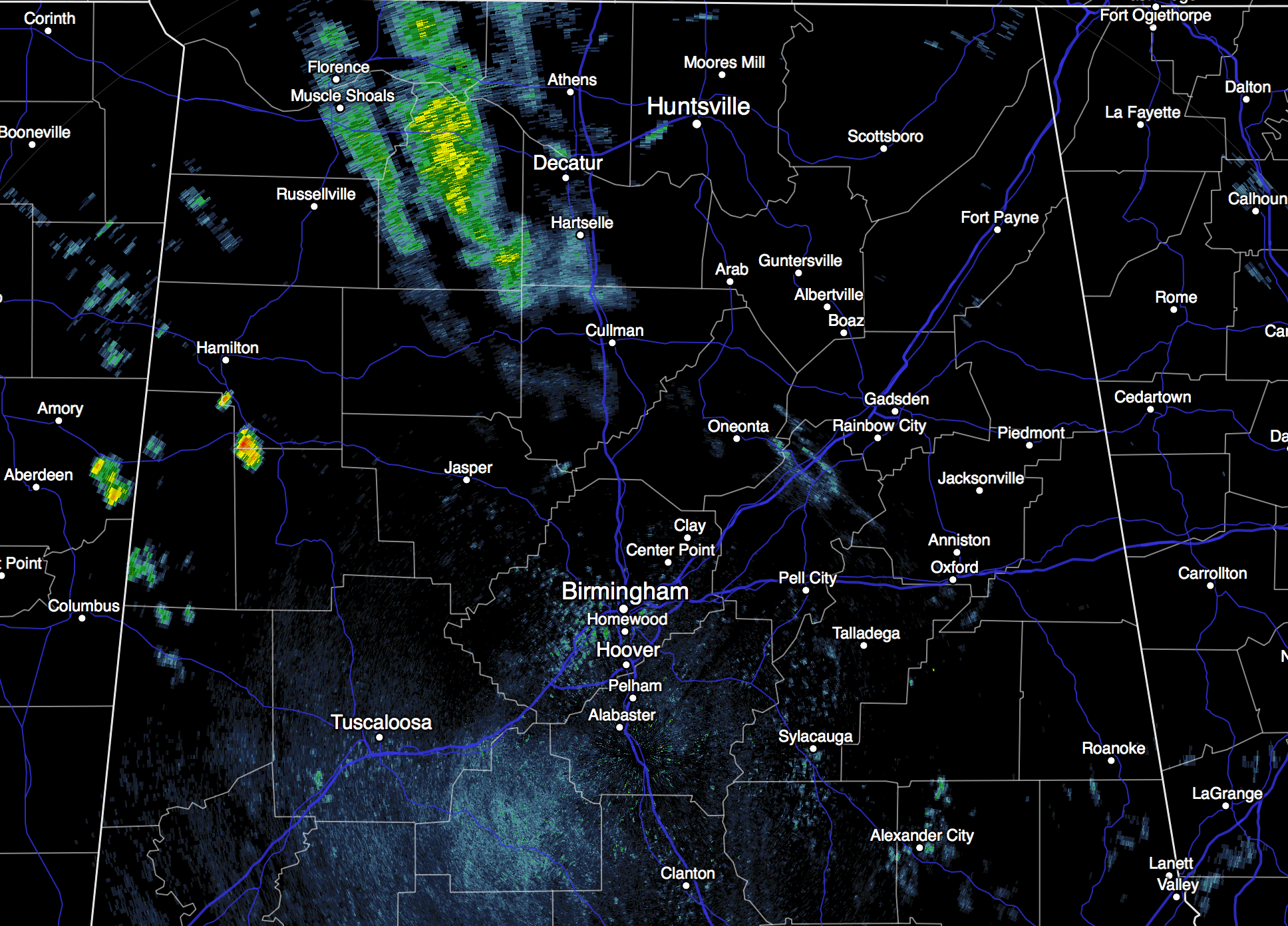
A few showers remain possible tonight, but nothing too widespread as the upper low over Northeast Alabama weakens and drifts northward.
THE WEEKEND: Showers are possible tomorrow and Sunday, but the rain won’t be widespread or heavy, and the sun will be out at times. Chance of any one spot getting wet both days will be about one in three, and the high will be pretty close to 80.
FOOTBALL WEATHER: Looks like most high school stadiums will be dry tonight, although a few showers are certainly possible. Temperatures will be in the 70s, and we expect no thunder or lightning.
Alabama will host ULM (University of Louisiana at Monroe) tomorrow at 3:00 at Bryant Denny Stadium; the sky will be mostly cloudy during the game, and a passing shower is possible. Temperatures will fall from near 81 degrees at kickoff, into the mid 70s by the fourth quarter. Mississippi State will visit Auburn at Jordan Hare Stadium tomorrow evening (6:30 kickoff)… the sky will be mostly cloudy with the risk of a shower. Temperature at kickoff near 75 degrees, falling to near 70 by the final whistle.
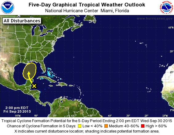
NEXT WEEK: The GFS continue to develop a tropical type low in the Gulf of Mexico Sunday night, which moves up toward the Central Gulf Coast by Tuesday. This could become a tropical depression, or even a tropical storm, but even if it doesn’t, it will still have potential to bring heavy rain to areas near the east of where the lowest pressure crosses the coast. Rain will increase across North and Central Alabama Monday through Tuesday due to this feature, but it is too early to determine which part of the state will see the heaviest rain. Then, showers decrease by Wednesday. See the Weather Xtreme video for maps, graphics, and more details.
AT THE BEACH: About 4 to 6 hours of sunshine tomorrow and Sunday from Gulf Shores west to Panama City Beach with a few scattered showers or storms, then rain is likely Monday and Tuesday, and that rain could heavy at times with the tropical low lifting northward. Highs will be in the 80s; See the complete Gulf Coast 7 Day Planner here. The Gulf Coast Beach Forecast is presented by Gulf Shores Plantation by Mandoki Hospitality Vacation Rentals. Escape to Gulf Shores Plantation where memories last a lifetime.
WEATHER BRAINS: Don’t forget you can listen to our weekly 90 minute netcast anytime on the web, or on iTunes. This is the show all about weather featuring many familiar voices, including our meteorologists here at ABC 33/40.
CONNECT: You can find me on all of the major social networks…
Facebook
Twitter
Google Plus
Instagram
I enjoyed seeing the students today at Centre Elementary in Cherokee County, and C.F. Hard Elementary in Bessemer… be looking for them on the Pepsi KIDCAM today at 5:00 and 6:00 on ABC 33/40 News! My next Weather Xtreme video will be posted here by 7:00 a.m. Monday… Brian Peters will have the video updates tomorrow and Sunday. Enjoy the weekend!
Category: Alabama's Weather
About the Author (Author Profile)
James Spann is one of the most recognized and trusted television meteorologists in the industry. He holds the AMS CCM designation and television seals from the AMS and NWA. He is a past winner of the Broadcast Meteorologist of the Year from both professional organizations.Subscribe
If you enjoyed this article, subscribe to receive more just like it.


