

Flooding Ongoing, Severe Weather Still in the Cards
An impressive southwesterly flow aloft is transporting tremendous amounts of very moist Gulf air all the way out of the southwestern Gulf of Mexico and even the eastern Pacific into Louisiana, Mississippi and Alabama.
A low level jet at 5,000 feet is pouring water like a firehose into the Northwest and West Central Alabama. Heavy showers and storms are flowing northeastward in the river of moisture across Louisiana, Mississippi and into North Alabama.
Life threatening flooding in ongoing across North Alabama. Flash flood warnings are in effect now for the following Counties:
Jackson, Madison, Marshall and Morgan til 7:30 pm.
Colbert, Franklin and Lawrence til 6:30 pm.
Cullman til 5:45 pm.
Marion/Winston til 430 pm.
Limestone til 345 pm.
Blount til 3:30 pm.
DeKalb, Jackson and Marshall til 2:45 pm.
Look for many of these warnings to be extended.
Numerous roads and bridges are washed out, roads are closed or covered by water and water rescues have been ongoing. Travel is not recommended in the warned areas. And the bad news is, several more inches of rain may fall over North Alabama before the mass of rain moves out.
Across Central Alabama, serious flooding is ongoing in parts of Chilton and Shelby Counties. In Columbiana, CR-30, CR-27 and Horton Road are all impasable due to mudslides. People are trapped in their homes.
CR-145 and AL-1 are flooded in Chilton County. 3.90 inches of rain fell this morning at Union Grove in Chilton County.
Severe weather may also be a problem with time as storms break out in the unstable air south of the rain area.
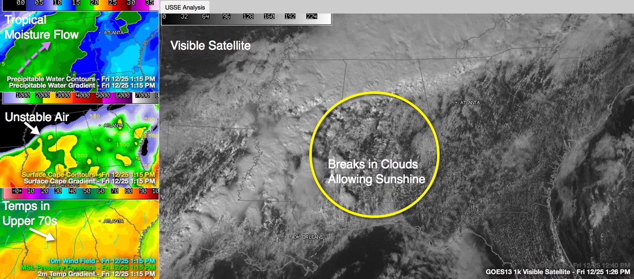
Record temperatures have already been established at Anniston and Birmingham with 77F and 79F at Tuscaloosa.
South of the rain mass, CAPE values are between 1,000-2,000 j/kg. One limiting factor is that low level and mid-level lapse rates (the rate with which temperature decreases with height) is not very impressive.
Bulk wind shear of 400 m2/ms is keeping the storms organized, but low level helicities are not very impressive for tornado development.
The storms should begin to push south this afternoon and reach the I-59 corridor around 7-9 p.m. tonight pushing on southeastward and weakening slowly with time.
While there are no severe thunderstorm or tornado warnings right now, it will not be out of the question this afternoon. A slight risk severe weather outlook is maintained by the SPC for areas in North Central Alabama north of I-59, including Tuscaloosa, Birmingham and Gadsden as well as Jasper, Hamilton, Cullman and Fayette.
Additional rains this evening over already waterlogged parts of Central Alabama may renew flooding concerns there as well.
Category: Alabama's Weather, Severe Weather
About the Author (Author Profile)
Bill Murray is the President of The Weather Factory. He is the site's official weather historian and a weekend forecaster. He also anchors the site's severe weather coverage. Bill Murray is the proud holder of National Weather Association Digital Seal #0001 @wxhistorianSubscribe
If you enjoyed this article, subscribe to receive more just like it.


