

Super Today – Sharply Colder into Tuesday
The second Sunday of February will be a super day for Central Alabama as we continue to enjoy the warmup before another Arctic chill down. Alabamians are waking up to a clear sky with nary a cloud to be found. But the morning is also starting with another chill as morning lows bottom out in the 20s. But with plenty of sunshine today we should see the highs across Central Alabama warm nicely well into the 50s – upper 50s for most locations. But then changes begin to take place.
But before we discuss those, it’s interesting to note what is happening just off the southeast coast of the US. A strong closed low moved along the Gulf Coast last night and will be emerging into the Southwest Atlantic today generating a surface low in the vicinity of Florida. Today that surface low will “bomb out” as we say as it undergoes deep intensification. To “bomb out” a surface low must drop 24 millibars in 24 hours, and it sure looks like this one will do that. Because of this deep intensification, hurricane force wind is expected to occur in the offshore waters with storm or hurricane force wind warnings from offshore of Florida all the way to New England for the next 36 to 48 hours.
Fortunately, that system will not have an impact on our weather, but right behind that closed low comes a deepening trough that will open the flood gates for cold air to surge southward into the Southeast US. Later tonight and into Monday, clouds will increase so that Monday will become a mostly cloudy day. Temperatures will be a bit tricky to forecast since highs and lows will not be occurring at their typical times. Morning temperatures will probably bottom out near 40, rise a little through late morning, and then begin to fall with the arrival of the cold air. So the high for the day will likely come in late morning, or perhaps even between midnight and 1 am. Our low for the day is likely to occur between 11 pm and midnight Monday evening. Temperatures during the afternoon are likely to be falling.
On top of that, it looks like this system will be bringing some moisture with it. Precipitation is likely to begin as light rain from late morning through the middle of the afternoon before enough cold air arrives to bring about a mixture of light rain and snow flurries. The mixed precipitation should change over to all flurries Monday evening and stay flurries through midday on Tuesday. With the warm ground we’re not likely to see anything stick. The exception to that comes in the northeast part of Alabama where we might see a little snow sticking at higher elevations.
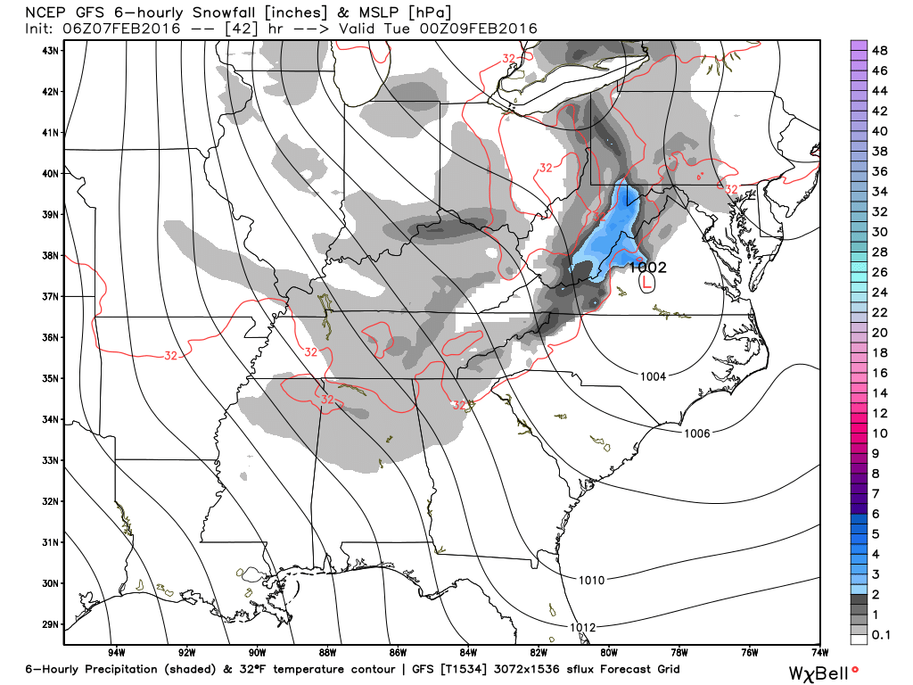
Tuesday is also likely to be a raw day with a northwest wind at 10 to 15 mph with higher gusts and highs from the Interstate 20 corridor northward only in the 30s. Areas south of the Interstate 20 corridor could see highs in the lower 40s.
Wednesday follows along with Tuesday for being a cold day but we’ll have the benefit of some sunshine. Lows will be well down in the 20s with highs in the 40 to 43 range. It may feel a little warmer thanks to a reduced wind.
The overall upper air pattern begins to transition out of the deep trough over the eastern US on Thursday and Friday. We should see some gradual warming with temperatures rising into the lower 50s, still chilly when compared to 30-year averages for early February. Saturday and Sunday will see ridging aloft so that weekend highs should be well into the 50s.
Yesterday the outlook for voodoo country seemed a little quiet, but the quiet is definitely gone on the latest GFS run today. A strong upper trough should bring wet weather to Alabama on Monday, February 15th. Another fairly high amplitude trough develops by the 18th which will bring another round of chilly weather to the East, but not as chilly as the one starting this week. And then a new trough/closed low comes out of the northern Rockies around the 20th. So the parade of storm systems should continue into the latter part of February.
I had a wonderful time at the “Wild About Chocolate” fundraiser for the Alabama Wildlife Center last night at the Harbert Center. It was a privilege to meet the newest member of their team, an unnamed red-tailed hawk. The injuries he sustained in a collision with a vehicle prohibit him from being able to return to the wild, so he will become part of their educational team. And he was absolutely gorgeous. I hope the auctions, both silent and not silent, were able to raise enough money to keep the Wildlife Center funded to continue their great work.
James Spann is expected back on Monday with the next edition of the Weather Xtreme Video. Enjoy the super weather on this Super Bowl Sunday. Godspeed.
-Brian-

Category: Alabama's Weather
About the Author (Author Profile)
Brian Peters is one of the television meteorologists at ABC3340 in Birmingham and a retired NWS Warning Coordination Meteorologist. He handles the weekend Weather Xtreme Videos and forecast discussion and is the Webmaster for the popular WeatherBrains podcast.Subscribe
If you enjoyed this article, subscribe to receive more just like it.


