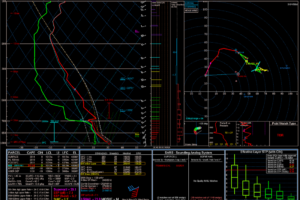
Two Similar Soundings, Two Wildly Different Outcomes
Summer break has just started for most schools across the United States and coupled with that is the awakening of Tornado Alley.

Summer break has just started for most schools across the United States and coupled with that is the awakening of Tornado Alley.
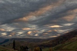
With their Latin route aspero roughly translating to “make rough or uneven”, these distinctive but rare clouds appear to be rippling waves in the skies above.
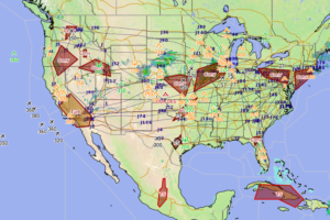
Hazardous in-flight weather advisory service (HIWAS) is a program for broadcasting hazardous weather information on a continuous basis.

In the early 20th century, official tornado warnings were not allowed in the U.S. because the Weather Bureau (precursor to today’s National Weather Service) didn’t want to cause panic based on low-confidence forecasts (given our limited understanding of tornadoes).
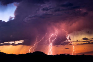
You’ve probably seen watches and warnings for severe weather on TV or posted on social media by the National Weather Service.
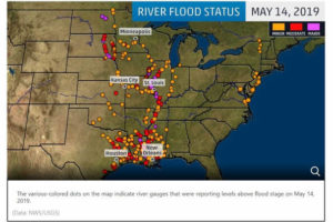
On February 17th, 2019, many regions along the Mississippi River rose above their flood stages.

Sometimes, fog can seem like it appears out of nowhere. It is not unusual for someone to be driving and have fog suddenly roll in, completely obscuring the driver’s vision.
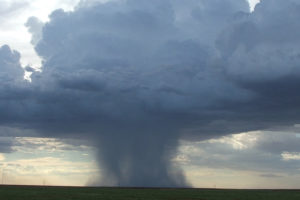
As we approach summertime we will discuss a topic about deserts, which are often associated with hot and dry conditions.
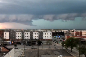
When it comes to anticipating the evolution of severe weather events across the United States of America or any other nation on the planet for that matter, there is no debate that the inherently fluid dynamical aspects of severe weather events can be incredibly complicated, to say the least.
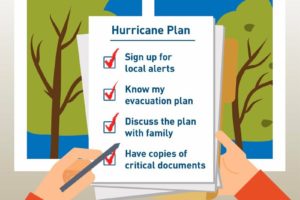
When it comes to preparing and being ready for hurricane season, there is nothing more important in being completely ready and having a plan in hand.
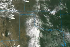
When it comes to trying to forecast or at least anticipate when there will be a larger threat for severe weather across the contiguous United States (or other parts of the Northern Hemisphere) during the Spring-time season, there is no question that there are most definitely times where concerns increase.
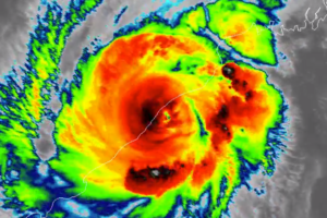
Over the past couple of days, millions of people from around the world were witnesses to an increasingly scary situation in the context of the robust intensification and the approach of Tropical Cyclone Fani to an eventual landfall in eastern India.
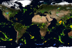
There is absolutely no debate that Tropical Cyclone Fani’s recent period of robust intensification ahead of its landfall in eastern India “turned many heads.”
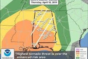
Throughout April 18th and April 20th, the southern states were slammed with a severe weather outbreak.
 Our long time friend, mentor, and charter Weather Factory member, J.B. Elliott, passed away on May 11, 2015. Click HERE to read James' tribute.
Notifications

