Alabama 811 | Know What's Below.

Archive for January, 2010

Thunderstorms Over Shelby County

Thunderstorms Over Shelby County

| January 29, 2010 @ 10:20 pm | 3 Replies

Some elevated thunderstorms have formed late this evening in the warm advection pattern ahead of a surface low over West Central Alabama tonight. Lightning was observed from the Shelby County Airport. Lightning data has detected a few flashes near Columbiana. The elevated thunderstorms will spread northeast into Talladega, Clay, Calhoun and Cleburne Counties. Additional showers […]

Read More

From Oklahoma

From Oklahoma

| January 29, 2010 @ 9:16 pm | 2 Replies

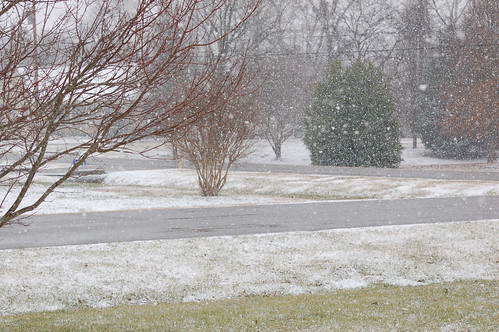
Thanks to ABC 33/40 Skywatcher Vic Bell for these images… he writes… “Two friends in the Oklahoma City area sent me these pics taken this afternoon.”

Read More

Rain Diminishing From the West

Rain Diminishing From the West

| January 29, 2010 @ 9:05 pm | 1 Reply

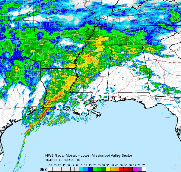
Drier air is pulling around the base of the upper trough back over Oklahoma and North Texas tonight and putting an end to the rain over Mississippi into Western Alabama. The threat of heavy rain is over now for Central Alabama. The flash flood watch has been canceled. Light to moderate rain continues north of […]

Read More

Evening Check on the Bad Old Winter Storm

Evening Check on the Bad Old Winter Storm

| January 29, 2010 @ 7:13 pm | 3 Replies

It has been quite a day in the weather office. Numerous inquiries about what was going to happen, BLOG updates, forecasts–you name it. Tonight rain continues over a large part of Alabama, but most areas even in North Alabama are no longer getting freezing rain or snow. The heaviest rain early tonight was down over […]

Read More

From North Carolina

From North Carolina

| January 29, 2010 @ 4:28 pm | Reply

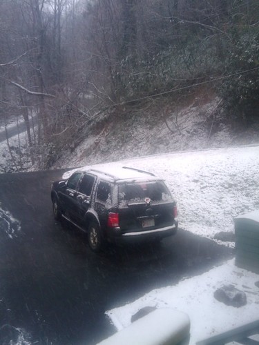
Thanks to Ann Marie Leveille for these images… she writes: “James, here’s a couple pics from Hendersonville, North Carolina, just south of Asheville. We barely made it to the grandparents house before the snow really set in! ”

Read More

From Gatlinburg

From Gatlinburg

| January 29, 2010 @ 4:26 pm | 1 Reply

Thanks to Danny Hill for this image from Gatlinburg, where they could see 5 to 10 inches of new snow tonight…

Read More

From Chattanooga

From Chattanooga

| January 29, 2010 @ 4:24 pm | Reply

Thanks to Joey Fine for these images… he writes: “Hey James, not the best pics put these are looking out the 16th floor of the Marriott downtown! Chattanooga is Beautiful with snow! We are up here for Conclave 2010. A Youth Pastors Conference! God bless ya!!!!”

Read More

Late Afternoon Update

Late Afternoon Update

| January 29, 2010 @ 4:13 pm | 6 Replies

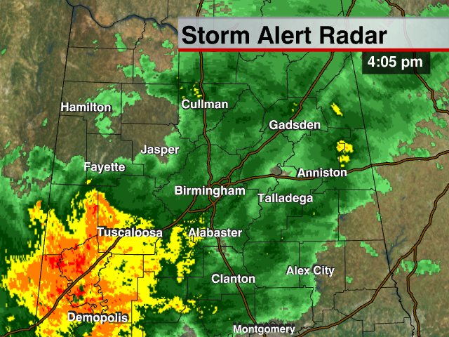
Warm air advection continues, and temperatures are above freezing across all of Alabama. No travel problems have been reported this afternoon, and no problems are expected along I-20 tonight, just a soaking, widespread rain. Late tonight, after midnight, colder air will begin moving back into Alabama, and there is a chance of some sleet/snow/freezing rain […]

Read More

Cold Rain Tonight; Ice And Snow Stay North

Cold Rain Tonight; Ice And Snow Stay North

| January 29, 2010 @ 1:25 pm | 19 Replies

An all new edition of the ABC 33/40 Weather Xtreme video is available in the player below. You can subscribe to the Weather Xtreme video on iTunes by clicking here. RIGHT NOW: Temperatures are generally in the mid 40s along the I-20 corridor from Tuscaloosa to Birmingham to Anniston, but to the north readings are […]

Read More

From Tennessee

From Tennessee

| January 29, 2010 @ 12:52 pm | 2 Replies

Thanks to ABC 33/40 Skywatcher Beth Brooks for these images… she writes: “Hi, My sister just sent these pictures from Signal Mountain, TN (Chattanooga, TN). She said that this amount fell in a little over an hour and it is still snowing heavily. Thanks, Beth”

Read More

Winter Storm Update

Winter Storm Update

| January 29, 2010 @ 12:10 pm | 3 Replies

A major winter storm continues just north of the BHM area today. Look at the huge area of winter storm warnings from Oklahoma to North Carolina. Sleet has been reported, along with some icing, in parts of north and northwest Alabama this morning (see James’ posts below), and there may be some icy roads, especially […]

Read More

From Huntsville…

From Huntsville…

| January 29, 2010 @ 11:48 am | 1 Reply

Thanks to ABC 33/40 Skywatcher Michelle Miklik for these images… she writes: “I just took these a few minutes ago. These are from the Monrovia area just north of Madison, AL near Huntsville ….. Michelle M”

Read More

Hazel Green Snow

Hazel Green Snow

| January 29, 2010 @ 11:36 am | 2 Replies

Thanks to Shannon Grubbs for this image… she writes: Hi James, Thought I’d send you a picture of the snow here in Hazel Green. It started snowing about an hour ago, and has been coming down rather hard since — big flakes!! It’s accumulating pretty fast. Thanks! Shannon Grubbs Hazel Green, AL”

Read More

Winston County Icing

Winston County Icing

| January 29, 2010 @ 11:09 am | 14 Replies

Thanks to one of our readers for these images from Haleyville, where light icing continues due to light freezing rain. We also note a number of reports from Huntsville that the rain/sleet mixture there has changed to snow over parts of Madison County. A winter storm warning remains in effect for extreme North Alabama… Still […]

Read More