Alabama 811 | Know What's Below.

Archive for November 18th, 2015

Storms Push East, Watch Looks Less Likely For Now

Storms Push East, Watch Looks Less Likely For Now

| November 18, 2015 @ 2:34 am

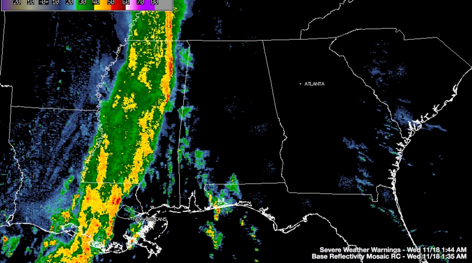
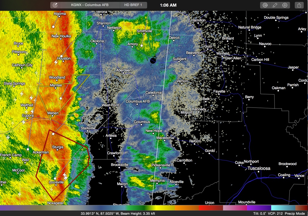
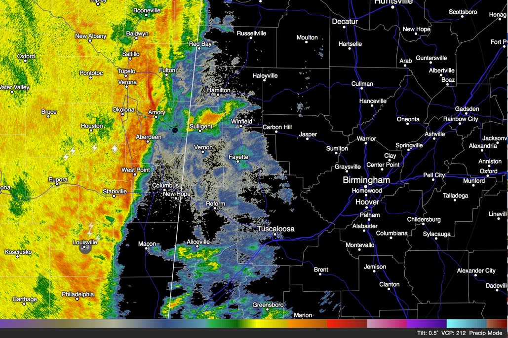
The line of storms continues to push east at a snail’s pace this morning, it’s forward speed having slowed to 15 mph. The leading edge of the line is just east of Boonville to west of Amory to West Point to Starkville and on to between Louisville and Macon at 2:25 a.m. Areas south and […]

Read More

Good News:  Storms Weaker, No Warnings For Now

Good News: Storms Weaker, No Warnings For Now

| November 18, 2015 @ 1:46 am

The good news is that our line of storms has weakened in the past 15 minutes and there are now no severe thunderstorm or tornado warnings. The only severe weather warnings are two flash flood watches and one severe thunderstorm warning over Mississippi/Louisiana. The lightning output on the storms has dramatically lessened over the past […]

Read More

Possible Tornado Passing West of Tupelo

Possible Tornado Passing West of Tupelo

| November 18, 2015 @ 1:23 am

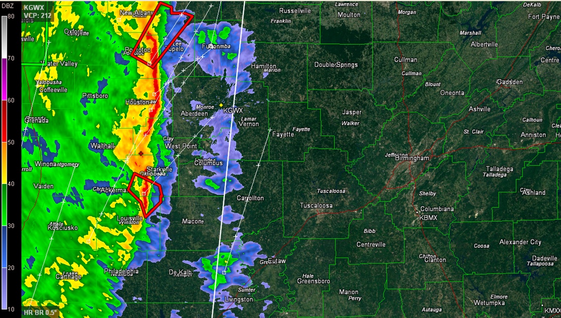
A new tornado warning has been issued by the NWS in Memphis for strong rotation NE of Pontotoc, headed toward Sherman, Guntwon, Baldwyn and on toward Booneville in NE Mississippi. This storm should stay west of the Alabama border and remain on Mississippi. The line of storms is pushing very slowly east at 15-20 mph. […]

Read More

Strong Indications of Tornado Heading Toward Starkville, Could Impact Marion/Lamar Soon.

Strong Indications of Tornado Heading Toward Starkville, Could Impact Marion/Lamar Soon.

| November 18, 2015 @ 1:10 am

A distinct comma head feature is moving through northeastern Mississippi at this hour. The thunderstorms associated with this feature have a history of producing possible tornado damage near Carthage around 12:10 a.m. The possible tornado is north of Louisville and heading in the general direction of Starkville. It will move toward West Point and Aberdeen […]

Read More