Karen Downgraded To A Depression, May Become A Remnant Low At Any Time
SUMMARY OF 1000 AM CDT INFORMATION
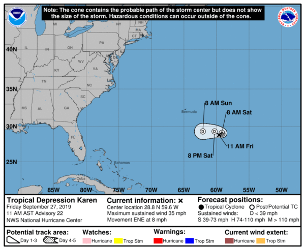
LOCATION…28.8N 59.6W
ABOUT 390 MI…630 KM SE OF BERMUDA
MAXIMUM SUSTAINED WINDS…35 MPH…55 KM/H
PRESENT MOVEMENT…ENE OR 65 DEGREES AT 8 MPH…13 KM/H
MINIMUM CENTRAL PRESSURE…1006 MB…29.71 INCHES
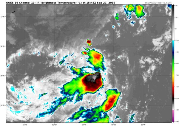
Karen’s associated convection is becoming increasingly disorganized, and as has been stated in previous advisories, the circulation is elongated and attached to a surface trough that extends northward toward Post-Tropical Cyclone Jerry. A partial ASCAT pass only showed winds around 25 kt in the southern part of the circulation, and the initial intensity is therefore lowered, probably still generously, to 30 kt.
Karen has moved out from beneath an upper-level anticyclone and is now feeling the effects of 15-20 kt of northwesterly shear. The shear is expected to increase further during the next few days and also become more southwesterly, which is likely to lead to weakening and further loss of organization. Based on the latest global model guidance, Karen is now forecast to lose organized deep convection and degenerate into a remnant low in 12 hours and then open up into a trough by day 3. Given the cyclone’s current structure, however, it’s entirely possible that either of these options could occur as soon as later today.
The initial motion is east-northeastward or 065/7 kt. As it becomes an increasingly shallower system, Karen should stop its eastward motion within the next 12-24 hours and then turn westward on the southern side of a low-level ridge developing over the western Atlantic. This forecast scenario remains consistent with the reasoning from previous NHC advisories.


