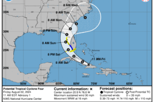
Midday Nowcast: Hot and Humid; Potential Tropical Cyclone Four
Some strong storms possible this afternoon across Alabama. All eyes are on the tropics as our next system is beginning to develop and will cause issues for Florida this weekend.

Some strong storms possible this afternoon across Alabama. All eyes are on the tropics as our next system is beginning to develop and will cause issues for Florida this weekend.
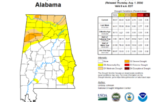
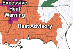
Heat Advisories remain in effect for all of Alabama today, and will likely be been extended into the weekend; Improving drought conditions across all of Alabama since last week.
We have some very typical weather ahead for Alabama the rest of this week. Expect partly sunny, hot, humid days and the risk of some afternoon showers and storms.
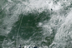
The trend for the rest of the week will be for lower rain chances and higher heat levels as an upper ridge rebuilds over the region. Highs the rest of this week will mid 90s each day.
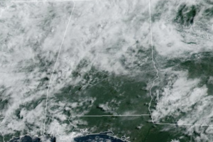
Scattered rain and storms remain in the forecast today and through the weekend as a very tropical air mass remains in place across Alabama.
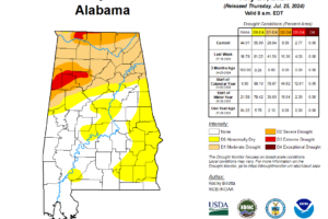
The beneficial rains over the last week have helped drought conditions to improve across portions of Alabama, but again, it takes a while for drought conditions to form, and it takes time for drought conditions to go away.
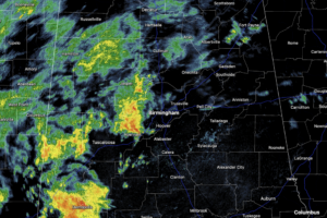
It is a new day, but the forecast is not changing as a tropical, unstable air mass remains in place across Alabama and the Deep South this week. We are seeing scattered to numerous showers and thunderstorms on the radar today and for the next couple of days.
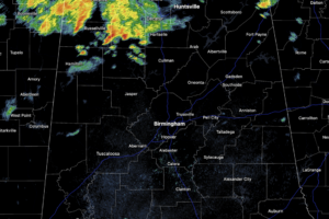
As of late this morning, all the rain and storms are over the northern portions of the state, but through the afternoon and evening hours, the radar will get a lot more active across Central Alabama. Again, rainfall will be heavy at times, and expect lots of lightning if you find yourself under one of these storms.
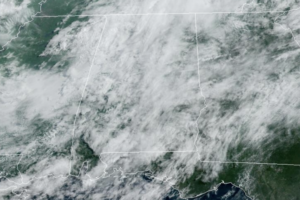
The air remains unstable across Alabama this week, and we are forecasting scattered to numerous showers and thunderstorms on a daily basis each day through Friday.
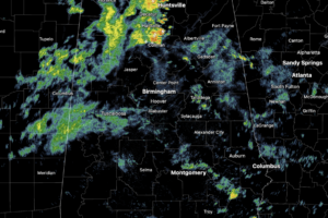
Numerous showers and storms across Alabama today, and highs are holding in the upper 70s to low and mid 80s. As always in summer, rain distribution will be very uneven, feast or famine, meaning some locations could get too much, while other spots get nothing.
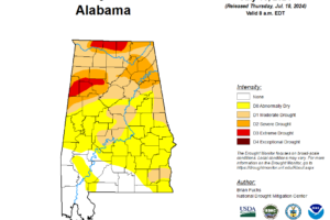
This week, all of the northern third of Alabama is suffering from at least moderate drought, with severe drought now covering large portions of the area.
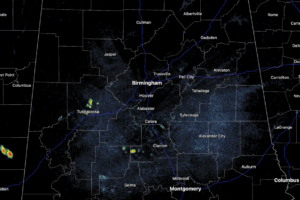
Showers and storms will begin to increase in coverage through the rest of today as the air becomes more unstable, highs today are in the low to mid 90s.
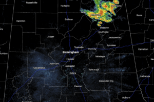
Sun, clouds, hot temperatures, and high humidity, it looks and feels like mid-July in Alabama. Scattered showers and storms have been ongoing through the morning hours, but through the afternoon and evening hours, expect the coverage of rain and storms to increase.
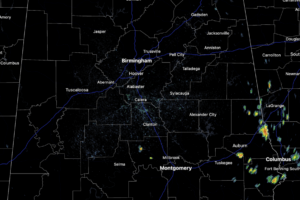
Routine summer weather is in the forecast with partly sunny, hot, humid days with the usual risk of scattered showers and storms on a daily basis generally during the afternoon and evening hours.
Notifications