

Near Record Warmth Again
The temperature at the Birmingham Airport (based on 5-minute data) has reached 73F at 130 p.m. This is exactly where we were yesterday, so a high of 75 or 76 looks likely.
There is a difference in temperature across the state with a cold front hanging around in the I-59 Corridor. Lower 70s are common along I-20 with middle 70s to the south. To the north, low and middle 60s are common.
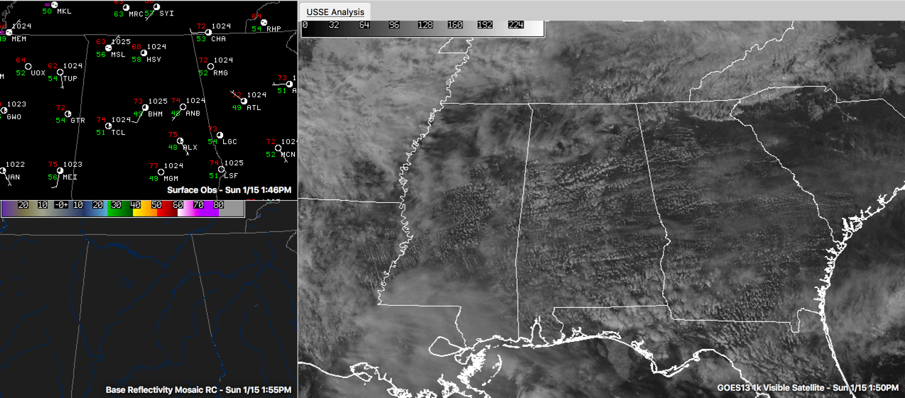
There is a good supply of clouds across the area, but some sun is peeking through.
Regional radars are clear despite the presence of the front.
We stay dry overnight, but some showers may show up on Monday during the heating of the day. Highs will be in the lower and middle 70s.
Rain will slowly move in from the northwest during the day on Tuesday and might continue into Wednesday. That event should bring around an inch of rain, which will be greatly appreciated. Rain will continue in the forecast all week.
Category: Alabama's Weather
About the Author (Author Profile)
Bill Murray is the President of The Weather Factory. He is the site's official weather historian and a weekend forecaster. He also anchors the site's severe weather coverage. Bill Murray is the proud holder of National Weather Association Digital Seal #0001 @wxhistorianSubscribe
If you enjoyed this article, subscribe to receive more just like it.


